Run on Earth
Run on Earth: Track Your Outdoor Adventures
Run on Earth is a fitness tracking app that uses satellite imagery to map your outdoor runs, walks, and hikes. It tracks your route, pace, distance, and elevation in real time.
What is Run on Earth?
Run on Earth is a fitness tracking app designed specifically for outdoor running, walking, and hiking. It sets itself apart from other fitness apps by incorporating rich satellite imagery and topographic maps to visualize and analyze your activities.
As you move outdoors, Run on Earth tracks your exact route via GPS and overlays it on high-resolution aerial and satellite maps. This allows you to view your workout path relative to roads, trails, landmarks, and terrain. The app uses elevation data to calculate metrics like total ascent, descent, and altitude gained. You can pan and zoom the map to explore your route in detail after your workout.
In real time during your activities, Run on Earth provides basic workout statistics like duration, distance, pace, speed, and heart rate if you use a compatible monitor. The rich maps enable interesting insights like your splits to the top of a big hill. Integrated music controls also allow you to safely control your workout soundtrack.
After you finish, Run on Earth generates a detailed workout summary. This includes the map, splits and pacing analysis, heart rate data, and comparisons to your historical averages. All of your activities are saved to your free account, allowing you to track progress over time. Premium subscription options exist too to unlock more features like custom maps and coaching plans.
Run on Earth Features
Features
- GPS tracking
- Route mapping
- Pace and distance tracking
- Elevation tracking
- Satellite imagery
- Real-time stats
Pricing
- Freemium
- Subscription-Based
Pros
Cons
Reviews & Ratings
Login to ReviewThe Best Run on Earth Alternatives
Top Sport & Health and Fitness Tracking and other similar apps like Run on Earth
Here are some alternatives to Run on Earth:
Suggest an alternative ❐Garmin Connect
Strava
ASICS Runkeeper

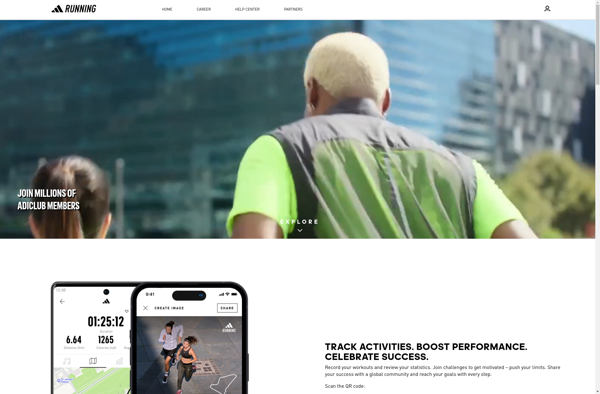
Adidas Running
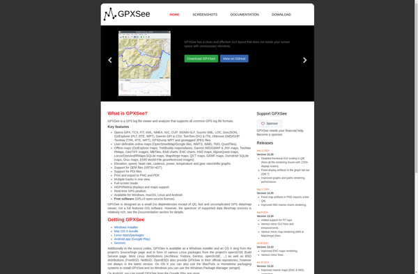
GPXSee
BitGym

Geo Tracker
OpenTracks
Zombies, Run!

FitoTrack
RunnerUp
Daytum
