AWIPS
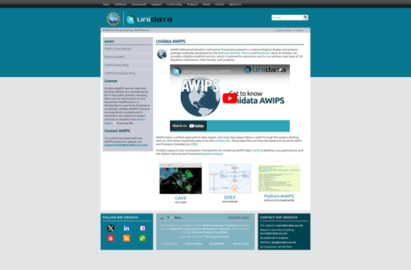
AWIPS: Weather Forecasting and Data Visualization Software
AWIPS is a weather forecasting and data visualization software developed by the National Oceanic and Atmospheric Administration (NOAA) in the United States. It processes weather data and creates graphical maps and imagery to help meteorologists analyze weather patterns and predict severe weather events.
What is AWIPS?
The Advanced Weather Interactive Processing System (AWIPS) is a specialized software system used by meteorologists to analyze weather data and create weather forecasts and warnings. It was developed by the National Oceanic and Atmospheric Administration (NOAA) in collaboration with other government agencies in the 1990s as part of the AWIPS Program.
AWIPS ingests real-time observational weather data from satellites, radars, surface stations, upper air soundings, and other sources. It processes and quality-controls this data to create graphical maps, imagery, and tabular outputs that meteorologists can use to study current weather patterns and trends. Some of the graphical outputs include surface analyses, upper air charts, radar and satellite imagery, and numerical weather prediction model data.
Within a local National Weather Service (NWS) Weather Forecast Office, AWIPS enables meteorologists to collaborate on preparing timely and accurate forecasts, warnings, and briefings. These local forecasts support public safety, aviation, marine transportation, agricultural interests, utilities, and other weather-sensitive operations. At NWS national centers and test facilities, AWIPS supports wider-ranging forecasting and climatological analysis.
The AWIPS technology architecture uses a specialized database tailored for meteorological data, geospatial processing software, interactive graphics software, and an integrated ingest/distribution network. The system underwent a major hardware and software upgrade called AWIPS II in the early 2010s to provide enhanced capabilities with new forecasting models, satellites, radars, and global data sources.
AWIPS Features
Features
- Real-time weather data visualization
- Interactive mapping
- Forecasting and modeling tools
- Data analysis and processing
- Collaboration tools
- Customizable workflows
- Multiple data sources integration
Pricing
- Subscription-Based
Pros
Cons
Reviews & Ratings
Login to ReviewThe Best AWIPS Alternatives
View all AWIPS alternatives with detailed comparison →
Top Science & Research and Meteorology & Weather and other similar apps like AWIPS
Here are some alternatives to AWIPS:
Suggest an alternative ❐RadarScope
GetNexrad

GRLevel3
PYKL3
GR2Analyst