RadarScope is a popular weather radar app for iOS and Android devices. It provides high-resolution radar imagery, severe weather warnings, and detailed forecasts powered by weather data from government and private sources.
Weather radar app providing high-res imagery, severe weather warnings & detailed forecasts from gov't & private sources.
What is RadarScope?
RadarScope is a highly-rated weather radar application for iOS and Android mobile devices. It is known for providing high-quality radar imagery, severe weather alerts, and robust tracking tools for experienced weather enthusiasts and meteorologists.
Some key features of RadarScope include:
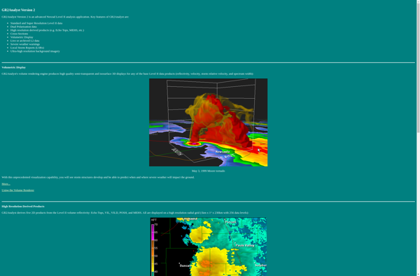
High-resolution base reflectivity and velocity radar data from the US National Weather Service, FAA, and other sources
Layer overlays like storms cells, lightning strikes, tornado and hurricane tracks
Severe weather warnings issued by the NWS Storm Prediction Center and local forecast offices
Future radar forecast projections to see where storms are headed
Dual-pane map views to compare different radars and products
Multi-radar mosaics with adjustable transparency
3D fly-through mode for interactive exploration
Custom alerts for lightning, tornadoes, etc. near user-defined locations
Aboriginal integration with professional weather instruments
With frequent updates and new features added, RadarScope aims to provide the most sophisticated weather radar experience available for mobile devices. Its interface and capabilities make it popular with both hobbyists and meteorology professionals monitoring developing weather situations.
GetNexrad is a lightweight, easy-to-use software application designed specifically for retrieving archived weather radar images from NOAA Nexrad radars across the United States. It provides an intuitive graphical user interface that allows users to easily select a radar location, specify a time period, and download the associated radar images.One of...
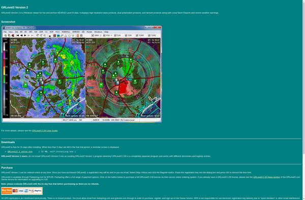
GRLevel3 is a feature-rich civil infrastructure design software built specifically for road design projects. It enables engineers to efficiently create high-quality 3D road models and generate detailed drawings and quantity calculations.Key features of GRLevel3 include:Specialized 3D modeling tools for road components like corridors, intersections, roundabouts, bridges, tunnels etc.Dynamic design functions...
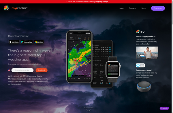
MyRadar is a popular free weather app developed by ACME AtronOmatic that provides users with interactive real-time weather radar, alerts, and hyperlocal forecasts. The app features a clean, intuitive interface with zoomable high-resolution radar maps that clearly show storms, precipitation, temperatures, winds, and other weather conditions.Key features of MyRadar include:Interactive...
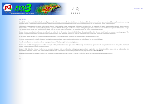
PYKL3 is an open-source Python package designed to make numerical optimization and machine learning more accessible. It provides user-friendly implementations of various algorithms and models commonly used in these fields.Some key features of PYKL3 include:A wide range of optimization algorithms - PYKL3 supports gradient descent, Newton's method, Nelder-Mead, particle swarm...
The Advanced Weather Interactive Processing System (AWIPS) is a specialized software system used by meteorologists to analyze weather data and create weather forecasts and warnings. It was developed by the National Oceanic and Atmospheric Administration (NOAA) in collaboration with other government agencies in the 1990s as part of the AWIPS...
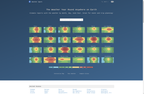
Weatherspark is an in-depth weather website and mobile application that focuses on providing historical weather data, weather forecasts, and data visualizations for locations worldwide. Some key features of Weatherspark include:Historical weather averages and extremes for temperature, precipitation, wind, etc. dating back over 40 yearsWeather forecasts for the upcoming 14 days...
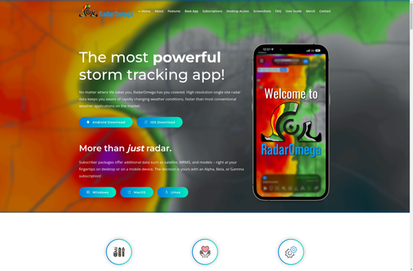
RadarOmega is an open source IT infrastructure management and network monitoring platform. It provides a centralized view and control over IT assets, networks, configurations, vulnerabilities, and more. Some key features of RadarOmega include:Automated discovery of devices through scanning IP address rangesCentralized asset inventory with hardware and software detailsVisual network topology...
GR2Analyst is a powerful geospatial analysis software developed by Geo-Routines. It provides a wide range of capabilities for working with spatial data including:Interactive geographic visualization using maps, globes, charts.Network and routing analysis for transportation and logistics.Geospatial analysis tools like buffering, overlay, proximity analysis.3D visualization and analysis.Scripting and automation using Python.Some...
StormLab is a cloud-based workflow automation and integration platform designed to help businesses connect their cloud applications and services to automate repetitive tasks and workflows. With an easy-to-use visual designer, StormLab enables users to integrate and orchestrate complex multi-step processes between popular apps like Salesforce, Marketo, Slack, Box, Office 365,...
Ugrib is a free, open-source software for working with meteorological data files. It supports decoding and visualizing popular weather data formats including GRIB, NetCDF, and binary raw files.Some key features of Ugrib:Plots various weather parameters like temperature, precipitation, wind, pressure etc. on a map.Animates weather data to show forecast evolution...