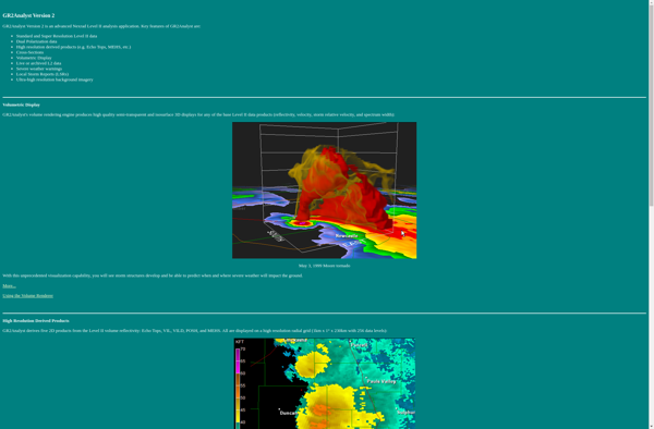
GetNexrad
GetNexrad: Free Weather Software
Free weather software to download NOAA weather radar images across the US, with simple interface for selecting radar location and time period.
What is GetNexrad?
GetNexrad is a lightweight, easy-to-use software application designed specifically for retrieving archived weather radar images from NOAA Nexrad radars across the United States. It provides an intuitive graphical user interface that allows users to easily select a radar location, specify a time period, and download the associated radar images.
One of the key advantages of GetNexrad is its focus on simplicity and ease of use. The interface includes a map where users can visually choose a radar location, as well as date/time selectors for specifying the desired time range. Once the criteria are set, clicking the 'Get Images' button will connect to NOAA's public radar image archives and retrieve the images for the selected location and time.
The images downloaded by GetNexrad are full resolution Nexrad radar images, stored in a standard image format. These images contain a wealth of meteorological data readily accessible for weather enthusiasts, researchers, students, and professionals. Everything from small-scale precipitation bands to large hurricane systems can be examined using the freely available radar imagery provided by the software.
Unlike some alternatives, GetNexrad does not require complex APIs or programming knowledge to operate. Its sole purpose is radar image retrieval and it performs this function with speed and reliability. With many radar products only keeping imagery available for a limited window, GetNexrad makes retrieving images simple during critical weather events.
GetNexrad Features
Features
- Allows downloading of weather radar images from NOAA radars
- Simple interface for selecting radar location and time period
- Works with radars across the United States
Pricing
- Free
Pros
Cons
Official Links
Reviews & Ratings
Login to ReviewThe Best GetNexrad Alternatives
Top News & Books and Weather and other similar apps like GetNexrad
Here are some alternatives to GetNexrad:
Suggest an alternative ❐RadarScope
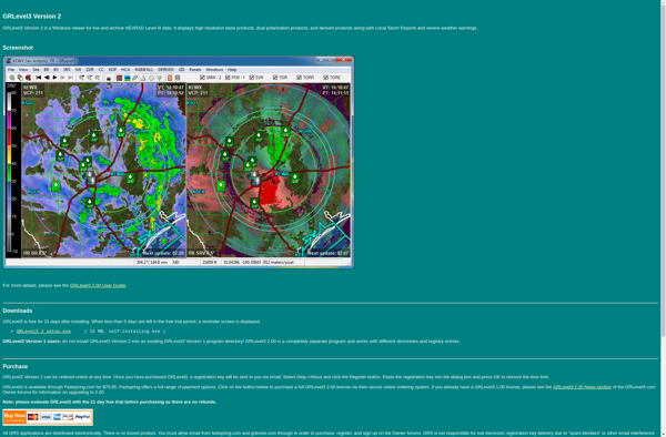
GRLevel3
PYKL3
AWIPS
RadarOmega
GR2Analyst
