PYKL3 is an open-source Python package for numerical optimization and machine learning. It provides implementations of various optimization algorithms and neural network models, along with tools for data preprocessing, visualization, and analysis. PYKL3 aims to make optimization
PYKL3: Open-Source Python Package for Optimization & Machine Learning
PYKL3 offers various optimization algorithms and neural network models, along with data preprocessing, visualization, and analysis tools, aiming to make optimization and machine learning more accessible.
What is PYKL3?
PYKL3 is an open-source Python package designed to make numerical optimization and machine learning more accessible. It provides user-friendly implementations of various algorithms and models commonly used in these fields.
Some key features of PYKL3 include:
A wide range of optimization algorithms - PYKL3 supports gradient descent, Newton's method, Nelder-Mead, particle swarm optimization, and more. Both constrained and unconstrained optimization problems can be solved.
Common neural network architectures like multilayer perceptrons, CNNs, RNNs, and autoencoders. Models can be easily customized and assembled.
Tools for data preprocessing, feature engineering, model evaluation, hyperparameter tuning, and result visualization.
Modular design allowing components to be used together or independently.
Extensive documentation and tutorials suitable for students and practitioners.
The goal of PYKL3 is to facilitate fast prototyping and experimentation with numerical optimization and machine learning techniques. By providing efficient reference implementations and high-level APIs, PYKL3 allows users to focus more on model building rather than coding algorithms from scratch.
PYKL3 is free, open-source software released under the MIT license. It can be easily installed using Python package managers like pip. As an actively developed project, PYKL3 is continuously updated with new algorithms, models, and capabilities over time.
RadarScope is a highly-rated weather radar application for iOS and Android mobile devices. It is known for providing high-quality radar imagery, severe weather alerts, and robust tracking tools for experienced weather enthusiasts and meteorologists.Some key features of RadarScope include:High-resolution base reflectivity and velocity radar data from the US National Weather...
GetNexrad is a lightweight, easy-to-use software application designed specifically for retrieving archived weather radar images from NOAA Nexrad radars across the United States. It provides an intuitive graphical user interface that allows users to easily select a radar location, specify a time period, and download the associated radar images.One of...
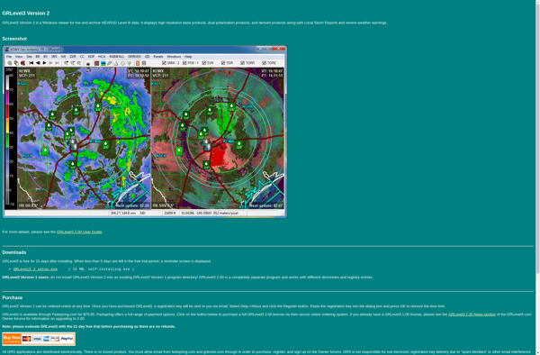
GRLevel3 is a feature-rich civil infrastructure design software built specifically for road design projects. It enables engineers to efficiently create high-quality 3D road models and generate detailed drawings and quantity calculations.Key features of GRLevel3 include:Specialized 3D modeling tools for road components like corridors, intersections, roundabouts, bridges, tunnels etc.Dynamic design functions...
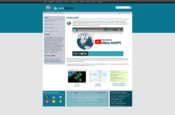
The Advanced Weather Interactive Processing System (AWIPS) is a specialized software system used by meteorologists to analyze weather data and create weather forecasts and warnings. It was developed by the National Oceanic and Atmospheric Administration (NOAA) in collaboration with other government agencies in the 1990s as part of the AWIPS...
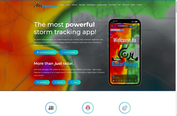
RadarOmega is an open source IT infrastructure management and network monitoring platform. It provides a centralized view and control over IT assets, networks, configurations, vulnerabilities, and more. Some key features of RadarOmega include:Automated discovery of devices through scanning IP address rangesCentralized asset inventory with hardware and software detailsVisual network topology...
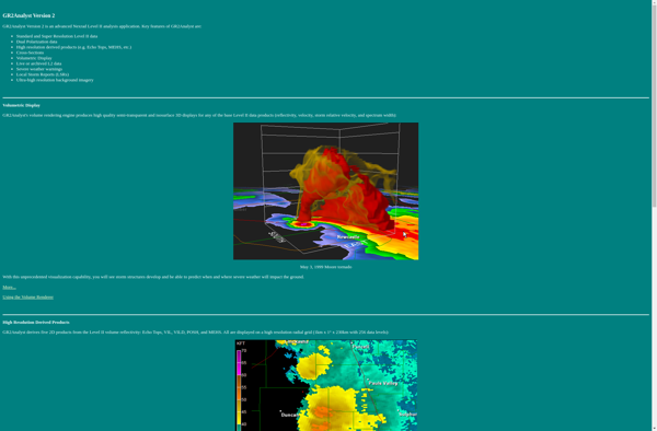
GR2Analyst is a powerful geospatial analysis software developed by Geo-Routines. It provides a wide range of capabilities for working with spatial data including:Interactive geographic visualization using maps, globes, charts.Network and routing analysis for transportation and logistics.Geospatial analysis tools like buffering, overlay, proximity analysis.3D visualization and analysis.Scripting and automation using Python.Some...
StormLab is a cloud-based workflow automation and integration platform designed to help businesses connect their cloud applications and services to automate repetitive tasks and workflows. With an easy-to-use visual designer, StormLab enables users to integrate and orchestrate complex multi-step processes between popular apps like Salesforce, Marketo, Slack, Box, Office 365,...