CellMapper
CellMapper: Crowd-Sourced Mobile Phone Signal Mapping Service
A mobile app that enables users to map cellular tower locations and network performance, contributing to improved network coverage maps
What is CellMapper?
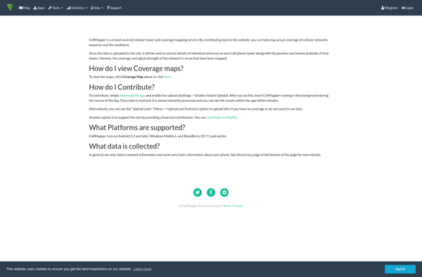
CellMapper is a crowd-sourced mobile phone signal and cellular tower mapping service. It relies on a mobile app that users can install on their phones to detect nearby cell towers, measure signal strength levels, network technology types, and other cellular network metadata as they travel around.
The app runs passively in the background and uploads anonymized tower locations and performance metrics to CellMapper's servers. This crowdsourced data is then aggregated and used to generate detailed coverage and signal maps for different mobile network operators.
The goal of CellMapper is to create more accurate and granular cellular network maps compared to those typically provided by carriers themselves. The data helps to highlight areas with poor coverage, enable research, and guide decisions by network operators to improve their infrastructure.
By getting thousands of users to scan the mobile networks in their area, CellMapper can stitch together a realistic picture of real-world cellular coverage, performance, and the precise locations of towers. The app is available for both iOS and Android devices.
CellMapper Features
Features
- Crowd-sourced mobile phone signal mapping
- Mapping of cellular tower locations
- Mapping of network performance
- Mobile app for data collection
- Improving network coverage maps
Pricing
- Free
Pros
Cons
Official Links
Reviews & Ratings
Login to ReviewThe Best CellMapper Alternatives
View all CellMapper alternatives with detailed comparison →
Top Network & Admin and Network Mapping and other similar apps like CellMapper
Here are some alternatives to CellMapper:
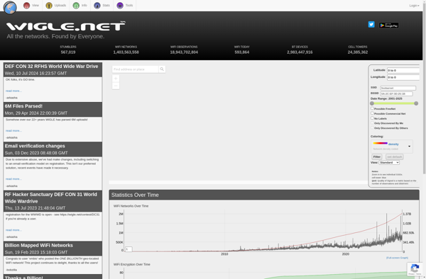
Suggest an alternative ❐WiGLE
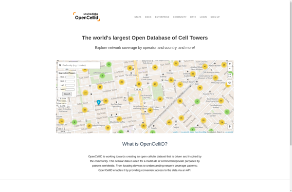
OpenCellID
OpenSignal

Tower Collector
OpenBmap