WiGLE (Wireless Geographic Logging Engine) is an open-source web application and API that collects information about wireless networks and maps their geographic locations. It relies on a community of users to scan for Wi-Fi networks and submit data to the database.
Open-source web application and API for mapping wireless network locations, relying on community submissions.
What is WiGLE?
WiGLE (Wireless Geographic Logging Engine) is an open-source web application and API that collects information about wireless networks around the world and maps their geographic locations. It was created in 2001 and relies on a community of users to perform Wi-Fi scans using apps or hardware and submit data about visible Wi-Fi networks (such as BSSIDs, SSIDs, encryption types etc.) to the WiGLE database.
This crowdsourced data allows WiGLE to map the locations of millions of wireless access points globally. The data can be accessed through the WiGLE website to view maps and search for networks by location, SSID or BSSID. There is also a public JSON API that allows querying the database programmatically.
WiGLE promotes the responsible use of its data for research purposes and warns against unauthorized access of Wi-Fi networks. The data has applications in mapping network coverage, analyzing network security, measuring environmental impact and more. Overall WiGLE aims to advance wireless openness through collaborative mapping of global Wi-Fi networks.
WiGLE Features
Features
Crowdsourced database of Wi-Fi networks and their locations
Web application to view network data on a map
APIs to access network data programmatically
Data contributions from global community of users
Open source platform that anyone can use and contribute to
Pricing
Open Source
Pros
Huge database of Wi-Fi networks for research purposes
Helps map availability of Wi-Fi networks
Allows users to visualize location of networks
Open source model promotes collaboration
APIs enable integration with other apps and analysis
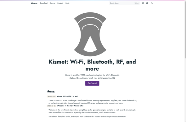
Kismet is an open-source wireless network detector, packet sniffer, and intrusion detection system for 802.11 wireless networks. It works with any Wi-Fi card that supports raw monitoring mode.Kismet can passively monitor wireless traffic and detect standard named networks, hidden networks, wireless access points, ad hoc networks, wireless clients, and more....
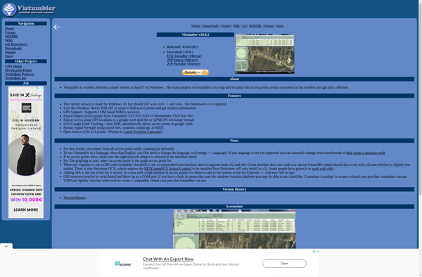
Vistumbler is a free, open-source Wi-Fi network scanner and analyzer for Windows operating systems. It allows users to detect wireless networks in the area and view detailed information about nearby wireless access points and routers.Some of the key features of Vistumbler include:Detection of wireless networks and access points in the...
CellMapper is a crowd-sourced mobile phone signal and cellular tower mapping service. It relies on a mobile app that users can install on their phones to detect nearby cell towers, measure signal strength levels, network technology types, and other cellular network metadata as they travel around.The app runs passively in...
Mozilla Stumbler is an open source application developed by Mozilla for mapping the geography of wireless network signals. It enables users to view the locations and signal strengths of Wi-Fi access points in an area as they move around with a mobile device.Mozilla Stumbler functions by continuously scanning for Wi-Fi...
RottenWifi is a free mobile app available for both iOS and Android that helps users identify insecure, unencrypted, or otherwise vulnerable public WiFi networks before connecting to them. It actively scans for nearby WiFi networks and analyzes them for potential risks or threats.Specifically, RottenWifi flags networks that are open/unencrypted, are...
openBmap is an open-source, collaborative mapping project with the goal of creating a free and comprehensive map of the entire world. The project relies on volunteer mappers to collect and contribute geographic data which is then made available for anyone to use under an open license.Some key aspects of openBmap...
Wardrive is an open-source application for Linux that is used to map the locations and details of WiFi access points. It allows users to survey an area while driving or walking around with a WiFi-enabled device and GPS, mapping out all the wireless access points that are detected.Some key features...