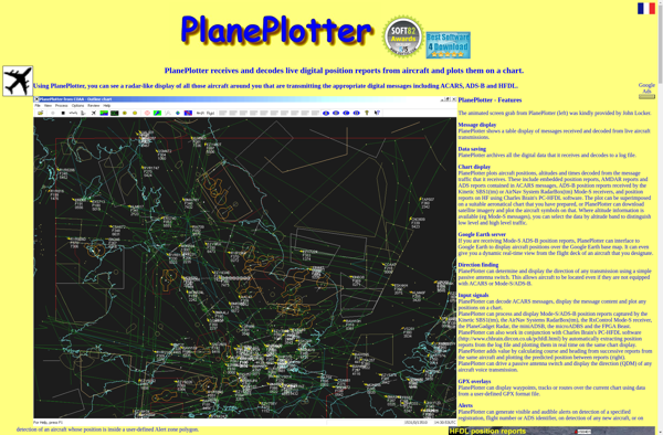
PlanePlotter is a flight tracking and logging software program that allows users to monitor aircraft in real-time using ADS-B and MLAT data. It has interactive maps, graphs, logging tools and data export features.
PlanePlotter is a flight tracking and logging software program that allows users to monitor aircraft in real-time using ADS-B and MLAT data. It has interactive maps, graphs, logging tools and data export features.
What is PlanePlotter?
PlanePlotter is a versatile software for tracking aircraft movements and flight data in real-time. It utilizes ADS-B and multilateration (MLAT) data from various receiver sources to plot aircraft positions on interactive maps.
Some of the key features of PlanePlotter include:
Interactive maps showing live flight tracks, airports, navaids, airspaces etc.
Graphs and data logging tools to analyze flight parameters like altitude, speed, vertical rate etc.
Ability to identify aircraft types and collect registration or tail numbers.
Playback recorded flight history tracks and data.
Export tracking data to other formats like KML, CSV, SQL databases etc.
Setup alerts for specific aircraft or areas of interest.
Supports a wide range of ADS-B and MLAT compatible receivers.
User-friendly interface customizable via plugins and scripts.
With advanced data analysis capabilities and flexible export options, PlanePlotter appeals to a wide audience ranging from aviation enthusiasts to researchers and professionals.
PlanePlotter Features
Features
Interactive map to view aircraft positions
ADS-B and MLAT data support for flight tracking
Graphing and logging tools
Data export capabilities
Virtual Radar to simulate radar coverage
Playback mode to replay flights
Pricing
Free
Subscription-Based
Pros
User-friendly interface
Powerful tracking and logging features
Supports many data sources
Affordable pricing tiers
Cons
Requires additional hardware like an ADS-B receiver
FlightRadar24 is a popular flight tracking website and mobile app that provides real-time flight information and aircraft data to the public. The service displays thousands of aircraft around the world on an interactive map, providing insights into airline routes, airports, and more.With FlightRadar24, aviation enthusiasts can track flights in real-time...
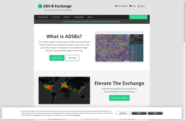
ADS-B Exchange is an open-source, volunteer-run platform that collects and shares aircraft location data through crowdsourced ADS-B receivers. It was created to provide improved ADS-B coverage compared to existing flight tracking services by tapping into home-based ADS-B receivers operated by a global network of enthusiasts.The platform aggregates ADS-B data from...
RadarBox is a comprehensive flight tracking and aviation intelligence platform designed for aviation enthusiasts, pilots, journalists, researchers, and businesses. It provides real-time global flight information and data on both commercial and private aircraft.Key features of RadarBox include:Interactive map showing live flight tracks worldwide, with flight details available for each aircraftOver...
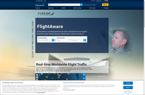
FlightAware is a popular flight tracking website and mobile application launched in 2005. It provides real-time data on flight statuses, airport delays, and other information for private, commercial, and cargo flights around the world.Some key features of FlightAware include:Real-time flight tracking - See the current position and status of any...
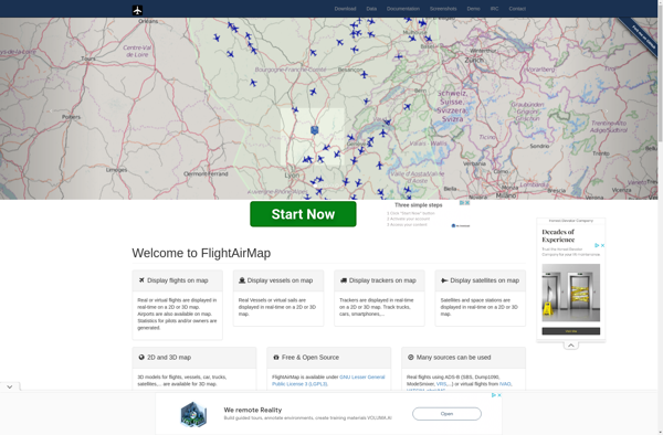
FlightAirMap is an innovative flight planning and navigation solution designed specifically for pilots. It integrates aviation maps, weather data, route planning tools, and in-flight navigation into one comprehensive system to streamline flight planning and enhance situational awareness.Key features of FlightAirMap include:Global aviation maps with terrain, airspaces, navaids, airports, air routes,...
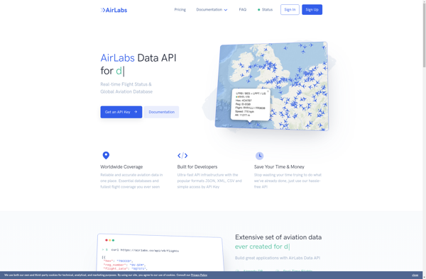
AirLabs API is a cloud-based artificial intelligence platform that makes it easy for developers to integrate powerful AI capabilities into their applications. It offers a range of AI services via simple REST APIs and SDKs in various programming languages.Some of the key features offered by AirLabs API include:Speech recognition -...
adsbScope is a free and open source ADS-B aircraft tracking software that works on Windows, Mac and Linux operating systems. It allows anyone to track aircraft in real-time using only a low-cost USB ADS-B receiver.Key features include:Real-time tracking of aircraft via ADS-BNo internet connection required, only an ADS-B receiverSupport for...
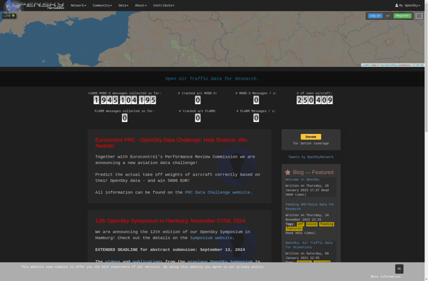
The OpenSky Network is an open-source, crowdsourced community building a large network of sensors across the globe to monitor aircraft traffic in real-time. Volunteers build low-cost ADS-B receivers using software-defined radios like RTL-SDR USB sticks to track aircraft location, altitude, velocity, and identity information.The open data is used by hobbyists...