RadarBox
RadarBox is a flight tracking and aviation software that provides real-time flight information and data. It allows users to track commercial and private flights worldwide via an interactive map, offering flight statuses, aircraft/airline details, airports, and more.
RadarBox: Flight Tracking and Aviation Software
Real-time flight tracking and aviation software providing worldwide flight information and interactive map data with aircraft/airline details and airport info
What is RadarBox?
RadarBox is a comprehensive flight tracking and aviation intelligence platform designed for aviation enthusiasts, pilots, journalists, researchers, and businesses. It provides real-time global flight information and data on both commercial and private aircraft.
Key features of RadarBox include:
- Interactive map showing live flight tracks worldwide, with flight details available for each aircraft
- Over 300,000 aircraft in database, including commercial airliners, business jets, helicopters, military planes, etc.
- Flight status information - departures, arrivals, scheduled/estimated times, altitude, speed, aircraft type, origin/destination airports, airline, flight number, and more
- Detailed aircraft and airline databases with photos, specs, ownership, accident reports, etc.
- Airport information on runways, frequencies, approaches, weather, parking/gates, etc.
- Tools for mapping flight routes and measuring distances
- Archive database of historical flight tracks
- Notifications for user-defined flight alerts
- Aviation news and blog
- Mobile apps for iOS and Android devices
With excellent coverage across North America, Europe, and many other global regions, RadarBox appeals to a wide audience of aviation tracker users from casual plane spotters to industry professionals.
RadarBox Features
Features
- Real-time flight tracking
- Interactive map with flight paths
- Detailed aircraft and airline information
- Airport data including arrivals, departures, delays
- Notifications for user-selected flights
- Historical flight data and playback
- 3D review of approach and departure procedures
- Sharing of flight information
Pricing
- Freemium
- Subscription-Based
Pros
Very accurate and reliable flight data
Slick and intuitive user interface
Lots of details on individual flights
Useful for aviation enthusiasts
Good feature set for free version
Cons
Limited historical data in free version
Can be pricey for premium features
Some ads in free version
Less flexible than similar aviation apps
Official Links
Reviews & Ratings
Login to ReviewThe Best RadarBox Alternatives
View all RadarBox alternatives with detailed comparison →
Top Travel & Location and Flight Tracking and other similar apps like RadarBox
Here are some alternatives to RadarBox:
Suggest an alternative ❐FlightRadar24
FlightRadar24 is a popular flight tracking website and mobile app that provides real-time flight information and aircraft data to the public. The service displays thousands of aircraft around the world on an interactive map, providing insights into airline routes, airports, and more.With FlightRadar24, aviation enthusiasts can track flights in real-time...

ADS-B Exchange
ADS-B Exchange is an open-source, volunteer-run platform that collects and shares aircraft location data through crowdsourced ADS-B receivers. It was created to provide improved ADS-B coverage compared to existing flight tracking services by tapping into home-based ADS-B receivers operated by a global network of enthusiasts.The platform aggregates ADS-B data from...

FlightAware
FlightAware is a popular flight tracking website and mobile application launched in 2005. It provides real-time data on flight statuses, airport delays, and other information for private, commercial, and cargo flights around the world.Some key features of FlightAware include:Real-time flight tracking - See the current position and status of any...

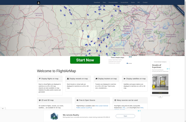
FlightAirMap
FlightAirMap is an innovative flight planning and navigation solution designed specifically for pilots. It integrates aviation maps, weather data, route planning tools, and in-flight navigation into one comprehensive system to streamline flight planning and enhance situational awareness.Key features of FlightAirMap include:Global aviation maps with terrain, airspaces, navaids, airports, air routes,...
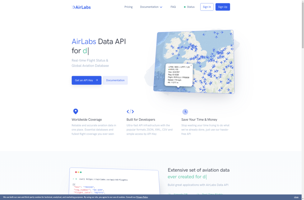
AirLabs API
AirLabs API is a cloud-based artificial intelligence platform that makes it easy for developers to integrate powerful AI capabilities into their applications. It offers a range of AI services via simple REST APIs and SDKs in various programming languages.Some of the key features offered by AirLabs API include:Speech recognition -...
AdsbScope
adsbScope is a free and open source ADS-B aircraft tracking software that works on Windows, Mac and Linux operating systems. It allows anyone to track aircraft in real-time using only a low-cost USB ADS-B receiver.Key features include:Real-time tracking of aircraft via ADS-BNo internet connection required, only an ADS-B receiverSupport for...

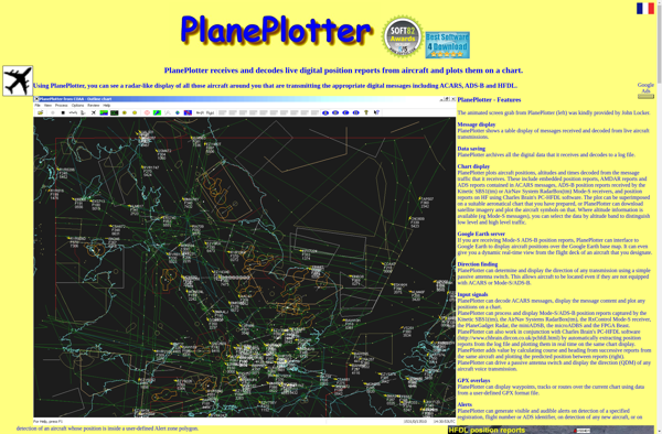
PlanePlotter
PlanePlotter is a versatile software for tracking aircraft movements and flight data in real-time. It utilizes ADS-B and multilateration (MLAT) data from various receiver sources to plot aircraft positions on interactive maps.Some of the key features of PlanePlotter include:Interactive maps showing live flight tracks, airports, navaids, airspaces etc.Graphs and data...
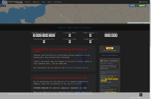
OpenSky Network
The OpenSky Network is an open-source, crowdsourced community building a large network of sensors across the globe to monitor aircraft traffic in real-time. Volunteers build low-cost ADS-B receivers using software-defined radios like RTL-SDR USB sticks to track aircraft location, altitude, velocity, and identity information.The open data is used by hobbyists...
VariFlight-Live on time
VariFlight-Live on time is a comprehensive aviation software solution designed to track flights and provide data-driven insights to improve airline punctuality and operations.It features real-time global flight tracking using ADS-B and airline direct feeds to monitor thousands of flights daily. The software visualizes flight positions on interactive maps and analyzes...

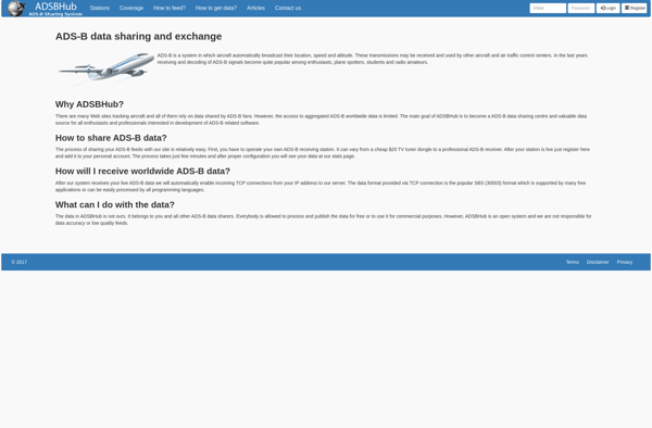
ADSB Hub
ADSB Hub is an open source, self-hosted web application for aggregating and sharing Automatic Dependent Surveillance-Broadcast (ADS-B) aircraft position data. It allows individuals or organizations to set up their own aircraft tracking feed using one or more ADS-B receivers.Some key features of ADSB Hub include:Aggregates data from multiple ADS-B receivers...