SUMO is an open source, highly portable, microscopic and continuous road traffic simulation package designed to handle large road networks. It allows for intermodal simulation including pedestrians and comes with a large set of tools for scenario creation.
Simulation of Urban Mobility (SUMO): Open Source Traffic Simulation Package
SUMO is an open source, highly portable, microscopic and continuous road traffic simulation package designed to handle large road networks. It allows for intermodal simulation including pedestrians and comes with a large set of tools for scenario creation.
What is Simulation of Urban MObility (SUMO)?
SUMO (Simulation of Urban MObility) is an open source, highly portable, microscopic and continuous road traffic simulation software package designed to handle large road networks. Originally developed at the Institute of Transportation Systems at the German Aerospace Center, SUMO allows for intermodal simulation that includes vehicles, public transport and pedestrians.
Some key features of SUMO include:
Microscopic simulation of road traffic with continuous vehicle movement and advanced car-following models
Options for simulating public transport, pedestrians and bicycle traffic
Support for large road networks with millions of edges and junctions
Fast execution speed and high portability across platforms
Extensive suite of supporting tools for network import, demand modeling, simulation control and analysis
APIs for embedding SUMO in other applications
Integration with traffic management systems and driving simulators
SUMO is highly flexible and portable, able to run on Linux, macOS, Windows and more. Its open source nature allows for customization and integration into larger modeling pipelines. The extensive documentation and suite of included tools make it easy to use for both simple and extremely large scale traffic simulations.
Simulation of Urban MObility (SUMO) Features
Features
Microscopic multi-modal traffic simulation
Large road network handling
Intermodal simulation (pedestrians, public transport, etc)
Wide range of traffic management options
Model calibration and validation tools
Graphical user interface for network editing
API for scripting and integration
Active open source community
Pricing
Open Source
Pros
Free and open source
Highly portable and runs on Linux, Windows and Mac
Anylogic is a versatile simulation software that enables organizations to model, simulate and analyze systems of any kind and complexity. It is based on the core simulation methodologies of agent-based modeling, system dynamics and discrete event modeling which can be combined within the same model.Key capabilities and benefits of Anylogic...
PTV Visum is a comprehensive transportation planning software package used by transportation agencies, consultants, and researchers to model, analyze, and optimize transportation systems. It enables users to:Build detailed multimodal transportation network models for roads, public transit, bikes, pedestrians, etc.Assign travel demand based on origin-destination matrices and route choice behaviorPerform traffic...
MATSim (Multi-Agent Transport Simulation) is an extensible, modular, open-source framework for implementing large-scale agent-based transport simulations. It allows researchers and planners to model real-world traffic scenarios with millions of individual agents, each with their own travel plans and behaviors.Some key features and capabilities of MATSim include:Microscopic mobility simulation of millions...
Aimsun Next is an advanced transportation modeling and simulation software suite used for transport planning, traffic engineering, and research applications. It allows users to model all modes of transport including cars, trucks, public transit, pedestrians, and bicycles.Key capabilities and features of Aimsun Next include:Modeling transport demand based on activities, trips,...
HCS (Healthcare Software) is a comprehensive solution designed to handle various operational aspects of healthcare facilities and organizations. It comprises of integrated modules for patient records, billing and invoicing, scheduling appointments, maintaining diagnostic reports, managing inventory and workflows.Key features of HCS include:Intuitive EHR (Electronic Health Records) to digitize and manage...
Quadstone Paramics is an advanced traffic modeling and simulation software used for a variety of transportation planning and traffic engineering applications. It allows users to create highly detailed microscopic traffic models to simulate the movement and behavior of individual vehicles as they travel through a road network.Key features and capabilities...
TRANSIMS (TRansportation ANalysis and SIMulation System) is an open source, multi-modal transportation planning software developed by the Los Alamos National Laboratory. It is designed to model travel demand at a microscopic level by simulating the movement and behavior of individual traveler entities.Unlike traditional transportation models that use aggregated data, TRANSIMS...
The Repast Suite is a mature, free, and open source agent-based modeling and simulation platform that has been under continuous development for over 20 years. It is used to model social agents and complex adaptive systems in domains like social science, ecology, biology, economics, manufacturing, military, and more.At its core,...
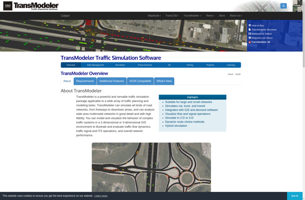
TransModeler is a leading transportation modeling and simulation software used by transportation planners, engineers, and researchers to model and analyze transportation networks. It provides advanced mesoscopic, microscopic, and macroscopic modeling capabilities to accurately evaluate transportation projects and policies.Key features of TransModeler include:Multimodal network modeling - Highways, transit, pedestrians, bicyclesAdvanced traffic...
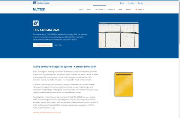
TSIS-CORSIM (Traffic Software Integrated System - Corridor Simulation) is an advanced traffic simulation software package developed by the Federal Highway Administration (FHWA) in the United States. It is used by transportation planners and engineers to model traffic operations of surface transportation systems such as freeways, highways, arterials, and urban streets.CORSIM...