Quadstone Paramics is traffic modeling and simulation software used by transportation planners and engineers. It allows creating detailed microscopic traffic models to test infrastructure changes and impacts.
Traffic modeling and simulation software for transportation planners and engineers, creating detailed microscopic traffic models to test infrastructure changes and impacts.
What is Quadstone Paramics?
Quadstone Paramics is an advanced traffic modeling and simulation software used for a variety of transportation planning and traffic engineering applications. It allows users to create highly detailed microscopic traffic models to simulate the movement and behavior of individual vehicles as they travel through a road network.
Key features and capabilities of Quadstone Paramics include:
Advanced car-following, lane-changing, and gap acceptance models for realistic driver behavior
Detailed modeling of public transit operations, including buses, light rail, and heavy rail
Ability to simulate pedestrians, bicyclists, emergency vehicles with special rights-of-way
Support for evaluating impacts of infrastructure changes, traffic control measures, demand management strategies
Estimation of a wide range of performance metrics like delay, queue lengths, fuel consumption and vehicle emissions
Powerful 3D visualization for animations and dynamic analysis of traffic flows
Customizable programming interface and SDK for additional traffic logic and data output
Quadstone Paramics is used worldwide by transportation agencies, planning organizations, research institutions and consultancies for planning, design and operations analysis of urban and regional transportation networks.
Quadstone Paramics Features
Features
Microscopic traffic simulation
Detailed modeling of individual vehicles
Support for large, complex networks
Modeling of public transit systems
Pedestrian modeling
Emissions and environmental impact modeling
Analysis tools like queue length, density maps, etc.
Pricing
One-time Purchase
Subscription-Based
Pros
Very detailed and accurate models
Can test many what-if scenarios
Wide range of analysis capabilities
Industry standard software used worldwide
Cons
Steep learning curve
Requires large amounts of input data
Model building and calibration can be time consuming
PTV Visum is a comprehensive transportation planning software package used by transportation agencies, consultants, and researchers to model, analyze, and optimize transportation systems. It enables users to:Build detailed multimodal transportation network models for roads, public transit, bikes, pedestrians, etc.Assign travel demand based on origin-destination matrices and route choice behaviorPerform traffic...
MATSim (Multi-Agent Transport Simulation) is an extensible, modular, open-source framework for implementing large-scale agent-based transport simulations. It allows researchers and planners to model real-world traffic scenarios with millions of individual agents, each with their own travel plans and behaviors.Some key features and capabilities of MATSim include:Microscopic mobility simulation of millions...
SUMO (Simulation of Urban MObility) is an open source, highly portable, microscopic and continuous road traffic simulation software package designed to handle large road networks. Originally developed at the Institute of Transportation Systems at the German Aerospace Center, SUMO allows for intermodal simulation that includes vehicles, public transport and pedestrians.Some...
Aimsun Next is an advanced transportation modeling and simulation software suite used for transport planning, traffic engineering, and research applications. It allows users to model all modes of transport including cars, trucks, public transit, pedestrians, and bicycles.Key capabilities and features of Aimsun Next include:Modeling transport demand based on activities, trips,...
HCS (Healthcare Software) is a comprehensive solution designed to handle various operational aspects of healthcare facilities and organizations. It comprises of integrated modules for patient records, billing and invoicing, scheduling appointments, maintaining diagnostic reports, managing inventory and workflows.Key features of HCS include:Intuitive EHR (Electronic Health Records) to digitize and manage...
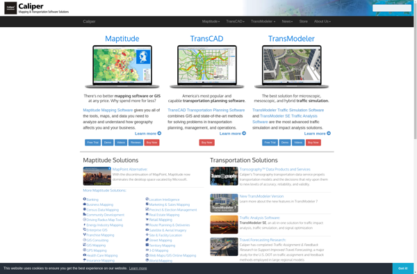
TransCAD is a leading geographic information system and transportation modeling software developed by Caliper Corporation. It has been used by transportation professionals for over 30 years to solve real-world problems in transportation planning, logistics, and vehicle routing.Key features of TransCAD include:Interactive mapping with support for global spatial dataTravel demand modeling...
TRANSIMS (TRansportation ANalysis and SIMulation System) is an open source, multi-modal transportation planning software developed by the Los Alamos National Laboratory. It is designed to model travel demand at a microscopic level by simulating the movement and behavior of individual traveler entities.Unlike traditional transportation models that use aggregated data, TRANSIMS...
The Repast Suite is a mature, free, and open source agent-based modeling and simulation platform that has been under continuous development for over 20 years. It is used to model social agents and complex adaptive systems in domains like social science, ecology, biology, economics, manufacturing, military, and more.At its core,...
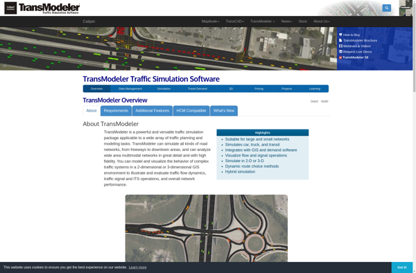
TransModeler is a leading transportation modeling and simulation software used by transportation planners, engineers, and researchers to model and analyze transportation networks. It provides advanced mesoscopic, microscopic, and macroscopic modeling capabilities to accurately evaluate transportation projects and policies.Key features of TransModeler include:Multimodal network modeling - Highways, transit, pedestrians, bicyclesAdvanced traffic...
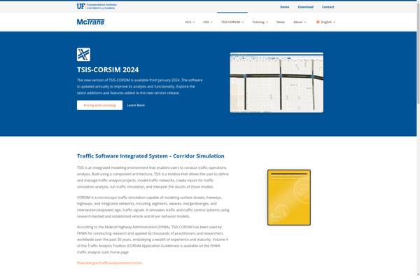
TSIS-CORSIM (Traffic Software Integrated System - Corridor Simulation) is an advanced traffic simulation software package developed by the Federal Highway Administration (FHWA) in the United States. It is used by transportation planners and engineers to model traffic operations of surface transportation systems such as freeways, highways, arterials, and urban streets.CORSIM...