TransCAD

TransCAD: Geographic Information System & Transportation Modeling Software
TransCAD offers mapping, routing, demand modeling, and logistics optimization for transportation planning and research needs.
What is TransCAD?
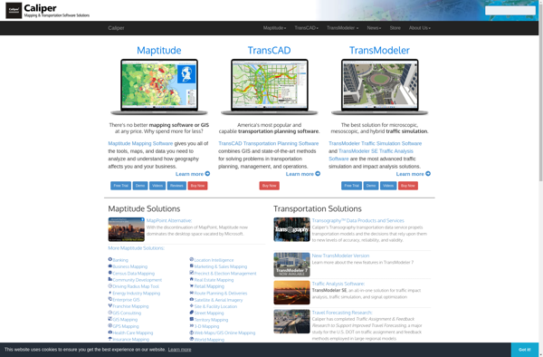
TransCAD is a leading geographic information system and transportation modeling software developed by Caliper Corporation. It has been used by transportation professionals for over 30 years to solve real-world problems in transportation planning, logistics, and vehicle routing.
Key features of TransCAD include:
- Interactive mapping with support for global spatial data
- Travel demand modeling and forecasting
- Public transit and logistics optimization
- Route planning and vehicle routing optimization
- Traffic assignment and simulation
- Data management, visualization and reporting
TransCAD combines the power of GIS and transportation modeling in one user-friendly software package. Its optimization algorithms allow users to find efficient transportation and logistics solutions while taking into account geographic constraints and conditions.
The software is used worldwide by metropolitan planning organizations, departments of transportation, consulting firms, universities, and logistic companies for solving real-world transportation challenges.
TransCAD Features
Features
- Network analysis
- Transportation planning
- Logistics optimization
- Geospatial analysis
- Mapping
- Routing
- Travel demand modeling
Pricing
- Subscription-Based
- Custom Pricing
Pros
Cons
Official Links
Reviews & Ratings
Login to ReviewThe Best TransCAD Alternatives
Top Travel & Location and Transportation Planning and other similar apps like TransCAD
Here are some alternatives to TransCAD:
Suggest an alternative ❐PTV Visum

Aimsun Next

Quadstone Paramics
