TopoFusion
TopoFusion: Topographic Map Software
Free, open-source software for working with topographic maps and GPS track logs, including viewing, editing, printing, importing, editing, and analyzing
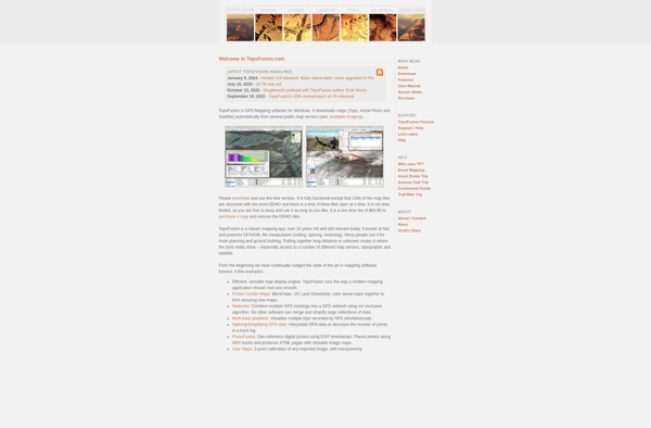
What is TopoFusion?
TopoFusion is an open-source, cross-platform software application designed for working with topographic maps and GPS track logs. Some of its key features include:
- Importing and georeferencing scanned paper maps
- Creating and editing vector maps with support for points, lines, and polygons
- Importing and exporting GPX and TCX GPS tracks
- Analyzing track statistics like total distance, moving time, elevation gain, etc.
- Viewing elevation and speed profiles for tracks
- Annotating maps and tracks
- Printing maps with customizable templates
TopoFusion runs on Windows, Mac OS X, and Linux. It can use maps from various online sources in raster format as a backdrop, with support for TMS, WMS, WMTS map sources. Users can create their own topographic maps by tracing satellite/aerial imagery or by surveying with a GPS.
With its abilities to handle both geospatial vector data and GPS tracks, TopoFusion caters well to hikers, climbers, cyclists, and other outdoor enthusiasts. Its focus is more on general cartography rather than advanced GIS analysis.
TopoFusion Features
Features
- View, create and edit topographic maps
- Import and export various map formats like USGS DRG, GeoTIFF
- Analyze and edit GPS tracks
- Create 3D flythrough animations from GPS tracks
- Measure distance, area, elevation etc on maps
- Add map markers, lines, polygons etc
- Georeference scanned maps
- Print maps with customizable templates
Pricing
- Free
- Open Source
Pros
Cons
Official Links
Reviews & Ratings
Login to ReviewThe Best TopoFusion Alternatives
View all TopoFusion alternatives with detailed comparison →
Top Education & Reference and Geography & Mapping and other similar apps like TopoFusion
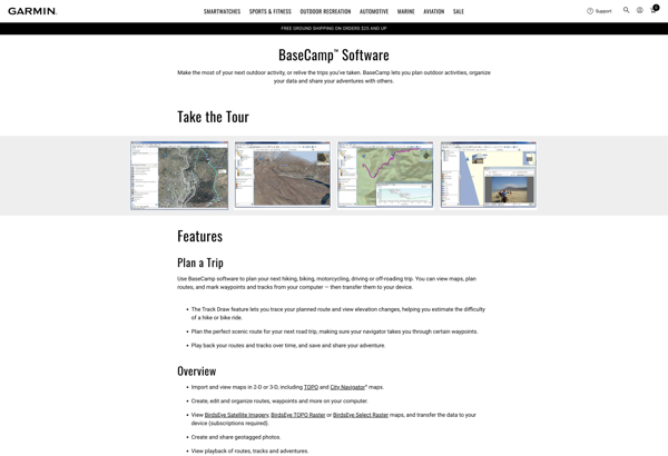
Garmin BaseCamp
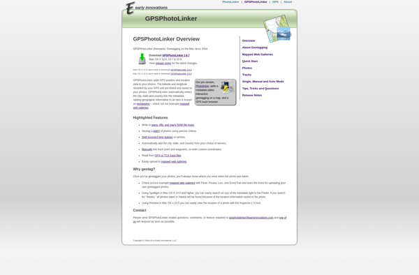
GPSPhotoLinker