Atlas: GIS & Maps

Atlas: GIS & Maps
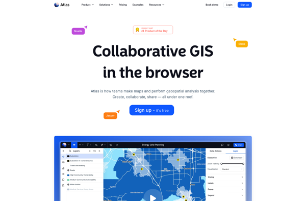
Atlas is a geographic information system (GIS) and map creation software. It allows users to capture, analyze, and present spatial data. Atlas makes it easy to create professional, interactive maps that bring data to life.
What is Atlas: GIS & Maps?
Atlas is a feature-rich geographic information system (GIS) and cartography software used to capture, analyze, manage, and present all forms of geographically referenced information. It allows users to create maps, integrate data, analyze spatial relationships, and share this information with others.
Key features of Atlas include:
- Interactive map creation - Easily design and publish multi-scale web maps with advanced styling and labeling capabilities.
- Data management - Manage, edit, and analyze spatial data from a variety of sources including files, databases, and web services.
- Advanced analysis - Perform integrated spatial analysis with tools for proximity analysis, geocoding, routing, raster analysis and more to reveal deeper insights into data.
- 3D visualization - View and analyze data in 3D to better understand patterns, relationships and terrain.
- Collaboration - Share maps, data, and analysis securely both inside and outside your organization.
- Developer tools - Customize Atlas and extend functionality for specific industries and workflows with Atlas APIs and SDKs.
With its user-friendly interface and extensive capabilities, Atlas empowers both GIS professionals and map consumers to harness the power of spatial data and location analytics.
Atlas: GIS & Maps Features
Features
- Interactive map creation
- Data visualization
- Spatial analysis
- Geocoding
- Routing
- Terrain editing
- 3D map support
Pricing
- Subscription-Based
Pros
Cons
Official Links
Reviews & Ratings
Login to ReviewThe Best Atlas: GIS & Maps Alternatives
Top Travel & Location and Mapping & Navigation and other similar apps like Atlas: GIS & Maps
No alternatives found for Atlas: GIS & Maps. Why not suggest an alternative?