MicMac is an open-source photogrammetry software used to create 3D models from photographs. It can process images taken with drones, smartphones, or standard cameras to construct textured mesh models.
An open-source photogrammetry software used to create 3D models from photographs, processing images from drones, smartphones, and standard cameras for textured mesh models.
What is MicMac?
MicMac is an open source photogrammetry software suite developed by the French National Mapping Agency (IGN). It allows the production of 3D models from a set of overlapping photographs taken around the object to be modeled. The resulting 3D model is a textured mesh that can be used for measurements or further 3D printing or editing.
Key features of MicMac include:
Free and open source software under Cecill-B license
Automated processing pipeline for 3D model generation
Advanced image matching algorithms for robust model construction
Ability to process images from drones, smartphones or standard digital cameras
Output formats include point cloud, mesh, orthophoto and digital elevation models
Command line interface for advanced users, as well as GUI front-ends like S2P
Cross-platform compatible with Windows, Linux and MacOS
MicMac can be used by photographers, drone pilots, archaeologists, architects and geospatial professionals to easily construct 3D models from site photography for measurement, analysis or visualization purposes. The automated workflow allows accurate 3D reconstructions without specialized photogrammetry know-how.
What Is Agisoft Metashape?Agisoft Metashape (formerly PhotoScan) is a professional photogrammetry software for processing digital images into 3D spatial data. It generates dense point clouds, textured 3D meshes, digital elevation models (DEMs), and orthomosaics from overlapping photographs.Key FeaturesMetashape supports aerial (drone) and close-range photogrammetry workflows. It handles image alignment, dense...
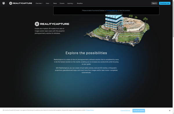
What Is RealityCapture?RealityCapture is a photogrammetry software that converts photographs and laser scans into detailed 3D models, point clouds, and textured meshes. Developed by Capturing Reality (now owned by Epic Games), it is known for processing speed and output quality.Key FeaturesThe software processes images from drones, ground-based cameras, and aerial...
DroneDeploy is a leading cloud-based drone mapping and analytics platform used by over 10,000 companies globally. The software aims to make drone data accessible for everyone by providing an easy-to-use interface to plan automated drone flights, capture aerial images, process data, and create professional maps and 3D models.Key features of...
3DF Zephyr is a powerful photogrammetry software used to construct 3D models from photographs. It utilizes advanced computer vision algorithms to analyze images and reconstruct detailed polygonal meshes, dense point clouds, textured models, orthophotos, and motion capture data.Key features include:Ability to import images from any digital camera and automatically orient...
123D Catch is a free photogrammetry software application created by Autodesk that generates 3D models from ordinary digital photographs. It works by analyzing multiple photographs of an object or scene taken from different angles. The software calculates 3D geometry by identifying common features across the photos and triangulating points in...
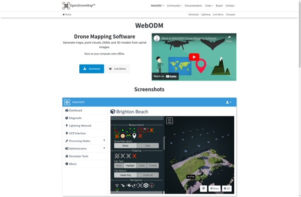
WebODM is an free and open source photogrammetry software designed to process aerial imagery from drones, planes or satellites into 3D maps, point clouds and textured 3D models. It handles large datasets efficiently and can be self-hosted on one's own servers or used as SaaS via a cloud platform.Some key...
AirCorp Photogrammetry is a professional drone mapping and modeling software solution used to process aerial images from drones and generate detailed 2D orthomosaic maps and 3D models. It is designed specifically for commercial drone operators and surveyors.The software can process images captured by common camera drones to create high-resolution 2D...
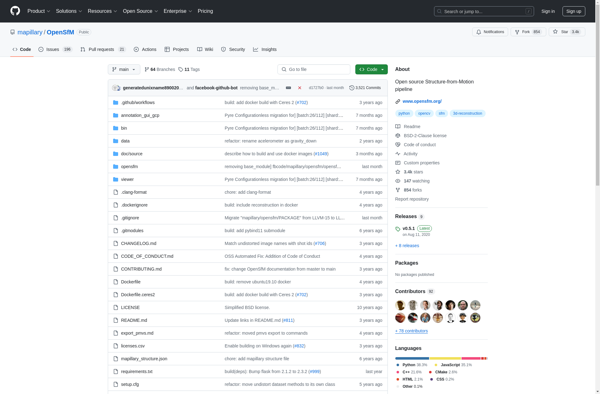
OpenSfM is an open source structure from motion software package for creating 3D reconstructions using 2D images. It works by estimating camera positions and geometries from overlapping images and using multi-view stereo methods to reconstruct dense 3D point clouds, meshes, and textured models.Some key features of OpenSfM include:Supports image sequences...
Pixpro is a versatile photo editing application suitable for beginners to professionals. It provides a wide range of features for organizing your photo library, editing and enhancing images, and sharing your creations.For organizing photos, Pixpro allows you to easily tag, rate and sort images using keywords, star ratings or color...
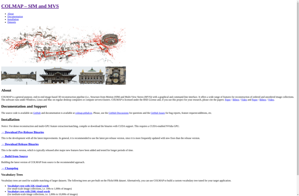
COLMAP is an advanced, open-source software for 3D reconstruction from images and videos. It implements state-of-the-art algorithms for structure from motion (SfM) and multi-view stereo (MVS) to compute camera parameters and dense 3D point clouds from image collections.Some key features and capabilities of COLMAP include:Reconstruction of ordered and unordered image...
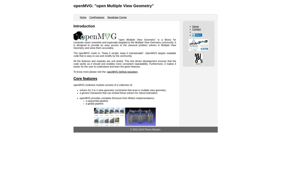
openMVG is an open-source computer vision library designed for reconstructing 3D scenes from multiple images or videos. It essentially performs structure from motion (SfM) to estimate camera positions and generate dense 3D point clouds and meshes.Some key capabilities and features of openMVG include:Multiple SfM pipelines such as incremental, global, and...
Petro Outlet is a comprehensive point-of-sale and inventory management solution built specifically for gas stations, convenience stores, and truck stops. It integrates the functionality to handle all aspects of running this type of business, including:POS - Petro Outlet has a full-featured POS system to handle customer purchases of fuel, convenience...