Agisoft Metashape

Agisoft Metashape: Stand-alone photogrammetric software for processing digital images and generating 3D spatial dataSoftware
Agisoft Metashape is a stand-alone software product that performs photogrammetric processing of digital images and generates 3D spatial data. It can process images from drones, ground-based cameras, and aerial surveys to construct 3D models, point clouds, digital elevation models, orthomosaics, and textured meshes.
What is Agisoft Metashape?
Agisoft Metashape is a professional photogrammetry program used to process digital images and generate high-quality 3D models. It is developed by Agisoft LLC, a company specializing in photogrammetric software. Metashape performs automated processing of images to create professional spatial data including:
- Dense point clouds
- Textured polygonal models
- Digital Elevation Models
- Orthomosaics
- Tiled models
- Point clouds with external and internal classifications
- Topographic maps and measurements
- Scalable templates for mapping
- Georeferenced models with control points
Metashape supports images from drones, ground cameras, and aerial photogrammetric surveys. Its workflow includes features for correspondences detection, bundle adjustment optimization, depth maps fusion, mesh generation, texture mapping, and more. The software can process thousands of images to generate precise 3D reconstructions with high quality textures suitable for inspection, analysis, visualization and sharing. It includes generation of digital assets in various exchange formats.
The user interface includes convenient options for defining processing parameters at each step. Work can also be automated through scripting and Python commands. Metashape runs on Windows, Mac and Linux platforms with support options including onsite training and online knowledge base.
Agisoft Metashape Features
Features
- Photogrammetric processing of digital images
- Generation of 3D spatial data
- Processing of images from drones, ground cameras, aerial surveys
- Construction of 3D models, point clouds, digital elevation models, orthomosaics, textured meshes
Pricing
- One-time Purchase
Pros
Cons
Official Links
Reviews & Ratings
Login to ReviewThe Best Agisoft Metashape Alternatives
Top Photos & Graphics and 3D Modeling and other similar apps like Agisoft Metashape
Here are some alternatives to Agisoft Metashape:
Suggest an alternative ❐Meshroom
Autodesk ReCap
RealityCapture
DroneDeploy
Insight3dng
PhotoModel3D GUI

PhotoModeler

MicMac
123D Catch

ReconstructMe
ImageModeler

VisualSFM

WebODM
Regard3D
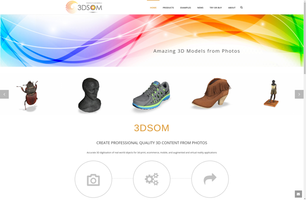
3DSOM
Maps Made Easy
AirCorp Photogrammetry
OpenSfM
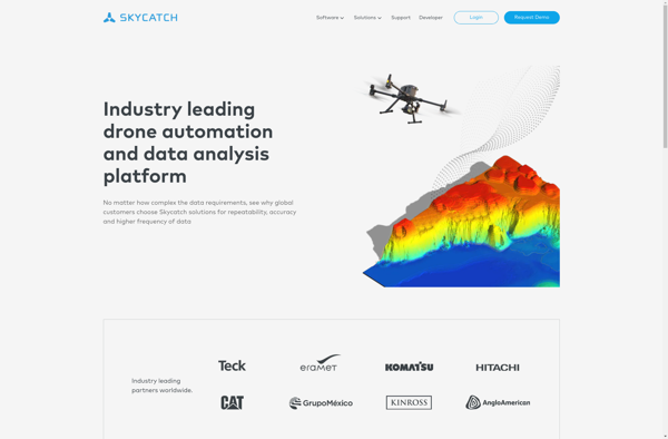
Skycatch
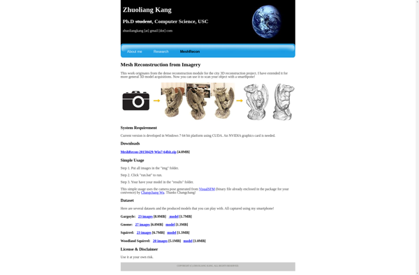
MeshRecon
OpenMVS

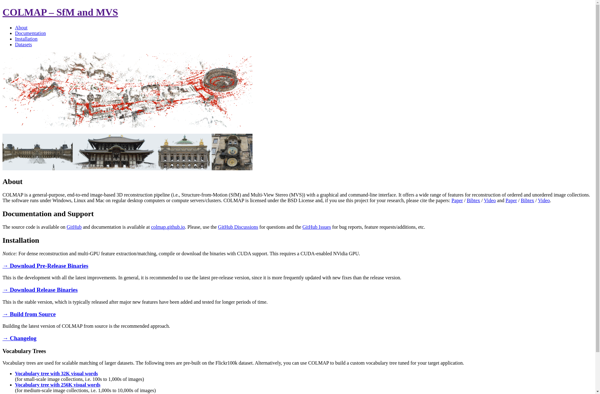
COLMAP
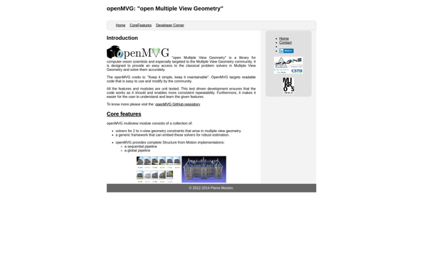
OpenMVG
Gom Inspect
Botlink
Petro Outlet
Sputnik Web
