Botlink is a chatbot and live chat software that allows businesses to engage with customers via conversational interfaces. It provides tools to build chatbots for websites, messaging apps, etc. to automate conversations and connect people to the right human agents when needed.
Chatbot and live chat software to automate customer conversations, build conversational interfaces for websites and messaging apps, connect customers to human agents.
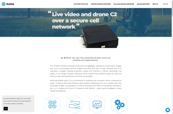
What is Botlink?
Botlink is a cloud-based chatbot and live chat software designed for businesses to engage with customers across multiple conversational channels. It provides an easy-to-use bot builder to create AI-powered chatbots that can understand questions and have natural conversations to provide answers, resolve issues and route complex customer requests to human agents in real-time.
Key features include:
Drag-and-drop bot builder with pre-built templates and integrations
Understanding of natural language with AI and NLU capabilities
Seamless handover to live human agents when needed
Chatbot analytics to understand conversations and improve bots
Omnichannel deployment across website, mobile apps, messaging platforms like Facebook Messenger, WhatsApp etc.
Live chat integration to connect customers with sales and support agents
CRM integrations, chatbot scripts and flexible APIs for advanced customization
Overall, Botlink provides an omnichannel customer engagement platform with chatbots and live chat capabilities to automate conversations, increase response rate and enhance customer experience.
What Is Agisoft Metashape?Agisoft Metashape (formerly PhotoScan) is a professional photogrammetry software for processing digital images into 3D spatial data. It generates dense point clouds, textured 3D meshes, digital elevation models (DEMs), and orthomosaics from overlapping photographs.Key FeaturesMetashape supports aerial (drone) and close-range photogrammetry workflows. It handles image alignment, dense...
DroneDeploy is a leading cloud-based drone mapping and analytics platform used by over 10,000 companies globally. The software aims to make drone data accessible for everyone by providing an easy-to-use interface to plan automated drone flights, capture aerial images, process data, and create professional maps and 3D models.Key features of...
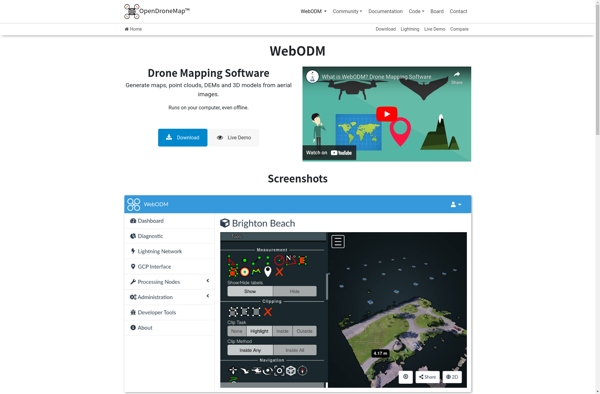
WebODM is an free and open source photogrammetry software designed to process aerial imagery from drones, planes or satellites into 3D maps, point clouds and textured 3D models. It handles large datasets efficiently and can be self-hosted on one's own servers or used as SaaS via a cloud platform.Some key...
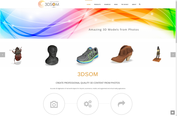
3DSOM is a standalone software application for interactive visualization and analysis of macromolecular structures in three dimensions. It is designed specifically for working with protein structures, DNA/RNA molecules, and other biological complexes.With 3DSOM, users can import structures from the Protein Data Bank (PDB) or other common structure file formats. The...
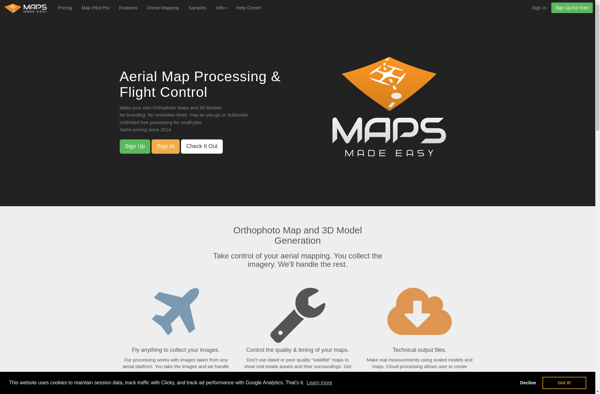
Maps Made Easy is a powerful yet easy-to-use map creation software for Windows. With an intuitive drag-and-drop interface, anyone can create stunning custom maps in minutes. Whether you need maps for presentations, game design, education, or just for fun, Maps Made Easy has all the tools to bring your ideas...
AirCorp Photogrammetry is a professional drone mapping and modeling software solution used to process aerial images from drones and generate detailed 2D orthomosaic maps and 3D models. It is designed specifically for commercial drone operators and surveyors.The software can process images captured by common camera drones to create high-resolution 2D...
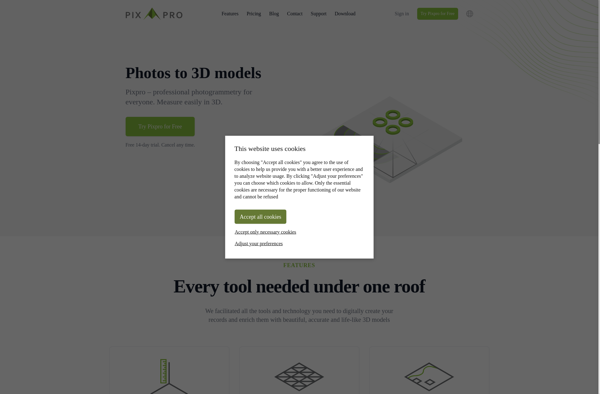
Pixpro is a versatile photo editing application suitable for beginners to professionals. It provides a wide range of features for organizing your photo library, editing and enhancing images, and sharing your creations.For organizing photos, Pixpro allows you to easily tag, rate and sort images using keywords, star ratings or color...
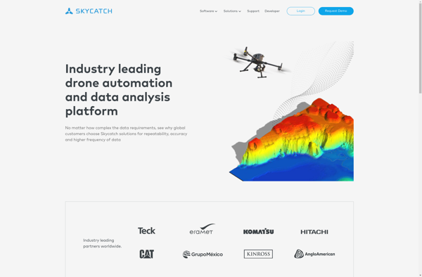
Skycatch is an end-to-end software solution for commercial drone operations and data analysis. The platform provides tools to plan automated drone flights, manage drone fleets, capture aerial imagery, generate 3D models and point clouds from the imagery, analyze the data, and share insights.Key features of Skycatch include:Mission planning - Plan...
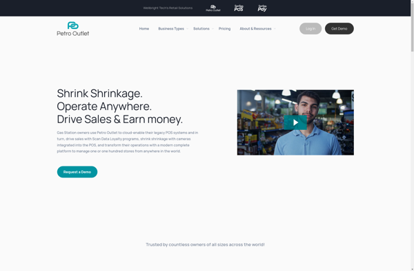
Petro Outlet is a comprehensive point-of-sale and inventory management solution built specifically for gas stations, convenience stores, and truck stops. It integrates the functionality to handle all aspects of running this type of business, including:POS - Petro Outlet has a full-featured POS system to handle customer purchases of fuel, convenience...
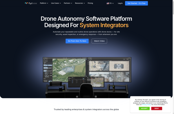
FlytBase is an open source drone fleet management platform optimized for commercial drone operations. It provides an integrated toolchain to plan missions, control drone flights, stream live telemetry data, and manage data post-flight.Key features of FlytBase include:Intuitive mission planning with waypoint setting and automated flight plan generationSafety features like geofencing,...