Petro Outlet
Petro Outlet is point-of-sale and inventory management software designed for gas stations, convenience stores, and truck stops. It handles sales, inventory, and accounting in one integrated solution.
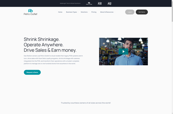
Petro Outlet: Point-of-Sale & Inventory Management Software
Point-of-sale and inventory management software for gas stations, convenience stores, and truck stops, handling sales, inventory, and accounting in one integrated solution.
What is Petro Outlet?
Petro Outlet is a comprehensive point-of-sale and inventory management solution built specifically for gas stations, convenience stores, and truck stops. It integrates the functionality to handle all aspects of running this type of business, including:
- POS - Petro Outlet has a full-featured POS system to handle customer purchases of fuel, convenience store items, car washes, and other services. It supports multiple payment types, scanning items, applying discounts/promotions, and more.
- Fuel Management - Automatically interfaces with gas pumps to track fuel inventory levels in real-time. Price book management, scheduling price changes, and integration with wholesale fuel suppliers.
- Inventory Management - Petro Outlet tracks both fuel and merchandise inventory. Supports purchase orders, inventory counts, transfers, reporting, and setting par levels.
- Accounting - Built-in general ledger, accounts receivable, accounts payable, and financial reporting.
- Loyalty Programs - Create customized loyalty reward programs to encourage repeat business.
- Reporting and Analytics - Real-time reporting and analytics across all areas of the business, including sales, inventory, employees, and accounting.
Petro Outlet aims to provide all the software needed to efficiently operate a gas station, convenience store, or truck stop in one integrated package rather than multiple disjointed systems.
Petro Outlet Features
Features
- Point-of-sale (POS) system
- Inventory management
- Accounting and financial management
- Reporting and analytics
- Fuel management
- Loyalty program integration
- Vendor management
- Multi-location support
Pricing
- Subscription-Based
Pros
Comprehensive solution for gas stations and convenience stores
Streamlined operations and improved efficiency
Centralized data management and reporting
Customizable to fit specific business needs
Integrates with various third-party systems
Cons
Steep learning curve for some users
Potential high initial investment cost
Limited mobile or cloud-based functionality
Customer support may be limited for smaller businesses
Features
- Point-of-sale (POS) system
- Inventory management
- Accounting and financial reporting
- Fuel management and pricing
- Loyalty and discount programs
- Reporting and analytics
- Mobile app for remote access
- Integration with third-party systems
Pricing
- Subscription-Based
Pros
Comprehensive solution for gas stations and convenience stores
Streamlines operations and improves efficiency
Provides real-time visibility into sales and inventory
Customizable to meet specific business needs
Integrates with various payment processors and fuel pumps
Cons
Steep learning curve for users
Requires substantial upfront investment
Limited customization options in some areas
Potential compatibility issues with legacy systems
Official Links
Reviews & Ratings
Login to ReviewThe Best Petro Outlet Alternatives
View all Petro Outlet alternatives with detailed comparison →
Top Business & Commerce and Point Of Sale and other similar apps like Petro Outlet
Here are some alternatives to Petro Outlet:
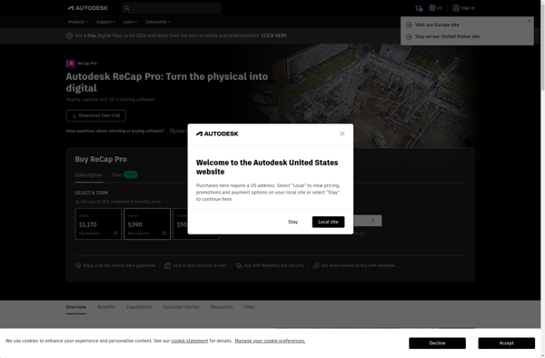
Suggest an alternative ❐Autodesk ReCap
Autodesk ReCap is a powerful reality capture software used to convert laser scans, photos and point clouds into high-quality 3D models. It is part of Autodesk's architecture, engineering and construction (AEC) collection.ReCap uses photogrammetry and lidar technology to capture real-world environments and import the data into reusable 3D models. Its...
Agisoft Metashape
What Is Agisoft Metashape?Agisoft Metashape (formerly PhotoScan) is a professional photogrammetry software for processing digital images into 3D spatial data. It generates dense point clouds, textured 3D meshes, digital elevation models (DEMs), and orthomosaics from overlapping photographs.Key FeaturesMetashape supports aerial (drone) and close-range photogrammetry workflows. It handles image alignment, dense...

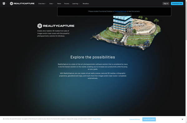
RealityCapture
What Is RealityCapture?RealityCapture is a photogrammetry software that converts photographs and laser scans into detailed 3D models, point clouds, and textured meshes. Developed by Capturing Reality (now owned by Epic Games), it is known for processing speed and output quality.Key FeaturesThe software processes images from drones, ground-based cameras, and aerial...
DroneDeploy
DroneDeploy is a leading cloud-based drone mapping and analytics platform used by over 10,000 companies globally. The software aims to make drone data accessible for everyone by providing an easy-to-use interface to plan automated drone flights, capture aerial images, process data, and create professional maps and 3D models.Key features of...
Insight3dng
insight3dng is an open-source, cross-platform software for 3D modeling and rendering. It is designed to provide a streamlined and intuitive workflow for creating and manipulating 3D assets. Some key features of insight3dng include:User-friendly interface with customizable workspaces and support for keyboards shortcuts.Comprehensive modeling toolset - boolean, extrude, blend, sculpting brushes...
3DF Zephyr
3DF Zephyr is a powerful photogrammetry software used to construct 3D models from photographs. It utilizes advanced computer vision algorithms to analyze images and reconstruct detailed polygonal meshes, dense point clouds, textured models, orthophotos, and motion capture data.Key features include:Ability to import images from any digital camera and automatically orient...

PhotoModeler
PhotoModeler is a photogrammetry software application used to create 3D models and take measurements from photographs. It works by processing normal 2D images taken with standard cameras to construct 3D models and measurements without requiring specialized capture equipment.Some key features and capabilities of PhotoModeler include:Ability to generate dense 3D point...

MicMac
MicMac is an open source photogrammetry software suite developed by the French National Mapping Agency (IGN). It allows the production of 3D models from a set of overlapping photographs taken around the object to be modeled. The resulting 3D model is a textured mesh that can be used for measurements...
Neitra 3D Pro
Neitra 3D Pro is a comprehensive 3D computer graphics software application used for making 3D animations, models, games, and images. Designed for professional artists and animators working in film, television, game development and architecture, Neitra 3D combines modeling, rigging, animation, simulation, rendering, and compositing into a single integrated workflow.Some key...
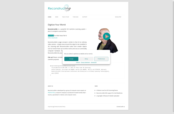
ReconstructMe
ReconstructMe is a powerful 3D scanning software application that utilizes standard RGB cameras to capture 3D models of real-world objects and environments. Simply by moving around the object and filming it from all angles with your camera, ReconstructMe can process this visual data to build detailed and accurate 3D models.The...
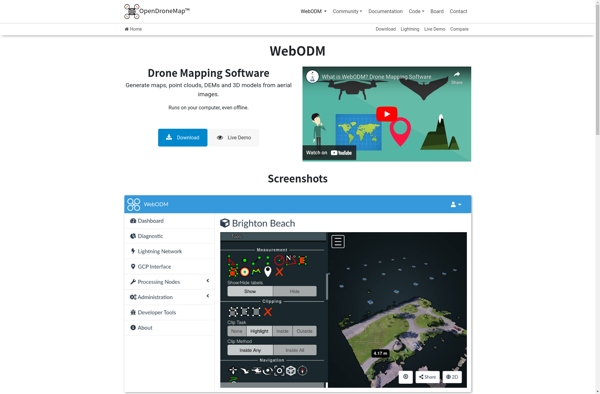
WebODM
WebODM is an free and open source photogrammetry software designed to process aerial imagery from drones, planes or satellites into 3D maps, point clouds and textured 3D models. It handles large datasets efficiently and can be self-hosted on one's own servers or used as SaaS via a cloud platform.Some key...
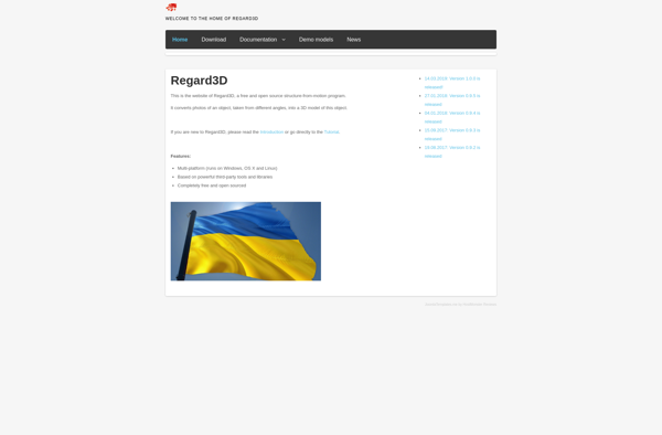
Regard3D
Regard3D is an powerful, open-source software for working with 3D scan data. It runs on Windows, Mac OS, and Linux.Some key features and capabilities:Import point clouds from common formats like PTX, PLY, XYZ, LAS.Align multiple scans using pair-wise alignment, target-based alignment, or bundle adjustment.Clean and edit point clouds - denoise,...
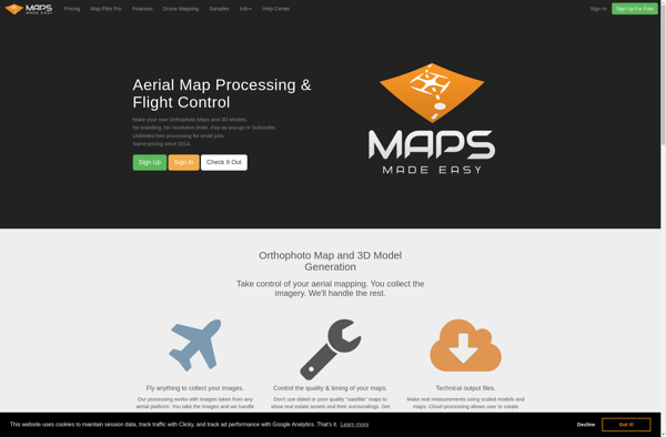
Maps Made Easy
Maps Made Easy is a powerful yet easy-to-use map creation software for Windows. With an intuitive drag-and-drop interface, anyone can create stunning custom maps in minutes. Whether you need maps for presentations, game design, education, or just for fun, Maps Made Easy has all the tools to bring your ideas...
AirCorp Photogrammetry
AirCorp Photogrammetry is a professional drone mapping and modeling software solution used to process aerial images from drones and generate detailed 2D orthomosaic maps and 3D models. It is designed specifically for commercial drone operators and surveyors.The software can process images captured by common camera drones to create high-resolution 2D...
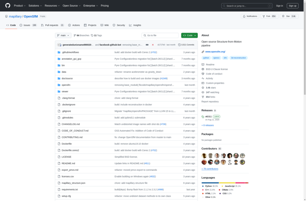
OpenSfM
OpenSfM is an open source structure from motion software package for creating 3D reconstructions using 2D images. It works by estimating camera positions and geometries from overlapping images and using multi-view stereo methods to reconstruct dense 3D point clouds, meshes, and textured models.Some key features of OpenSfM include:Supports image sequences...
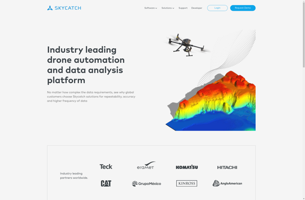
Skycatch
Skycatch is an end-to-end software solution for commercial drone operations and data analysis. The platform provides tools to plan automated drone flights, manage drone fleets, capture aerial imagery, generate 3D models and point clouds from the imagery, analyze the data, and share insights.Key features of Skycatch include:Mission planning - Plan...
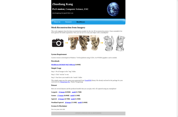
MeshRecon
MeshRecon is a powerful software application designed specifically for processing 3D scan data and generating high-quality 3D mesh models. It utilizes advanced reconstruction algorithms to convert unstructured point clouds and images into complete polygon models.Some key features and capabilities of MeshRecon include:Import data from common 3D scanning hardware like laser...
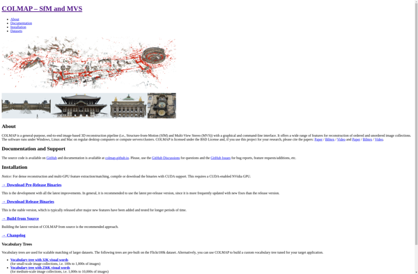
COLMAP
COLMAP is an advanced, open-source software for 3D reconstruction from images and videos. It implements state-of-the-art algorithms for structure from motion (SfM) and multi-view stereo (MVS) to compute camera parameters and dense 3D point clouds from image collections.Some key features and capabilities of COLMAP include:Reconstruction of ordered and unordered image...
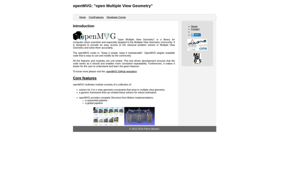
OpenMVG
openMVG is an open-source computer vision library designed for reconstructing 3D scenes from multiple images or videos. It essentially performs structure from motion (SfM) to estimate camera positions and generate dense 3D point clouds and meshes.Some key capabilities and features of openMVG include:Multiple SfM pipelines such as incremental, global, and...
Botlink
Botlink is a cloud-based chatbot and live chat software designed for businesses to engage with customers across multiple conversational channels. It provides an easy-to-use bot builder to create AI-powered chatbots that can understand questions and have natural conversations to provide answers, resolve issues and route complex customer requests to human...
Sputnik Web
Sputnik Web is an open-source website builder that provides users with an intuitive drag-and-drop interface to create professional websites without needing to know how to code. It has an extensive library of over 500 designer-made templates and over 4000 blocks that allow you to easily customize the design and content...