GeoShell
GeoShell is an open-source geographic information system (GIS) software for working with spatial data. It provides tools for creating, editing, analyzing, and visualizing geospatial information.
GeoShell: Open-Source GIS Software
GeoShell is an open-source geographic information system (GIS) software for working with spatial data. It provides tools for creating, editing, analyzing, and visualizing geospatial information.
What is GeoShell?
GeoShell is an open-source desktop geographic information system (GIS) software designed for working with spatial data. It offers a wide range of capabilities for creating, editing, analyzing, and generating maps from geospatial information.
Key features of GeoShell include:
- Powerful vector and raster data editing tools for creating new geospatial datasets
- Advanced geospatial analysis functions such as distance and overlay measurements, geoprocessing, and more
- Ability to style data based on attributes and generate high-quality cartographic maps
- Support for numerous vector and raster data formats
- Python scripting interface to automate workflows
- Cross-platform compatibility running on Windows, Mac, and Linux
- Active open source development community behind the software
With its broad feature set and open-source nature, GeoShell is well-suited for GIS professionals, researchers, students, and hobbyists looking for a capable free and open source desktop GIS solution.
GeoShell Features
Features
- Desktop GIS with standard GIS capabilities
- Support for various data formats like Shapefiles, GeoJSON, KML, PostGIS
- Spatial analysis and geoprocessing tools
- Map creation and cartography
- 3D visualization and terrain analysis
- Scripting and automation using Python
- Cross-platform - runs on Windows, Mac and Linux
Pricing
- Open Source
Pros
Free and open source
Active development community
Extendable through Python plugins
Lightweight and easy to install
Supports many data formats and databases
Powerful spatial analysis capabilities
Cons
Limited user support compared to proprietary GIS
Steep learning curve for new users
Not as polished UI as some commercial GIS
Lacks some advanced analysis tools of ArcGIS/QGIS
Scripting requires Python knowledge
Smaller user community than leading GIS
Official Links
Reviews & Ratings
Login to ReviewThe Best GeoShell Alternatives
Top Education & Reference and Geographic Information Systems and other similar apps like GeoShell
Here are some alternatives to GeoShell:
Suggest an alternative ❐File Explorer
A file explorer is an essential piece of software that provides a graphical interface to access, manage, and manipulate the files and folders stored on your computer or other devices. It allows you to easily browse through the file system on your hard drives or external storage devices.Some key features...

Finder
Finder is the default file manager application that comes pre-installed on all Mac computers running the MacOS operating system. It provides a graphical user interface to browse, search, access, copy, move, tag, delete and manage files and folders stored locally on the Mac hard drive or available over the network.Some...

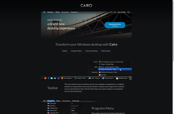
Cairo Shell
Cairo Shell is a desktop graphical shell designed for Linux operating systems. It aims to provide an intuitive yet powerful user interface for managing applications and files.Some key features of Cairo Shell include:A simple, clean interface with smooth scrolling animations and transparency effectsHighly customizable desktop with support for desktop widgets...
NERD tree
NERD tree is a file system explorer plugin for the Vim text editor. It provides a sidebar that displays the file system and allows users to quickly navigate between files and folders.Some key features of NERD tree include:Tree-style view of the file system for easy navigationOpen, close, and change directories...

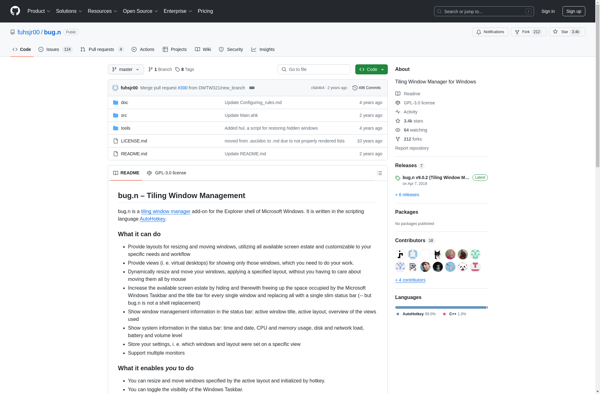
Bug.n
bug.n is an open source, self-hosted bug tracker and project management tool. It has an intuitive and clean interface that allows for easy tracking of issues and tasks across multiple projects.With bug.n, you can:Manage bugs/issues with priority levels, statuses, assignees, labels and moreBreak projects into components and categorize issuesTrack tasks,...
Liteshell
Liteshell is a free, open-source terminal emulator and SSH client developed specifically for Windows. It aims to provide a fast, lightweight, yet fully-featured terminal experience.Some key features of Liteshell include:Multiple tabbed sessionsCustomizable themes and stylesKeyboard shortcuts and bindingsSSH client with key supportScripting and automation capabilitiesPortable app requiring no installationAs an...
DeskSpace
DeskSpace is a virtual desktop manager software for Windows that helps users organize their applications and windows into separate desktop spaces. It aims to provide a clean, distraction-free working environment by enabling users to group applications and windows based on their purpose or project.Some key features of DeskSpace include:Create unlimited...
Emerge Desktop
Emerge Desktop is an open-source virtual desktop infrastructure built on KDE Plasma and Kernel-based Virtual Machine (KVM) technology. It provides a complete Windows-compatible environment for Linux users to run Windows applications and games seamlessly without having to dual boot or use Wine.Some key features of Emerge Desktop include:Provides a full...
BbLean
bbLean is a flexible and easy-to-use business process management and workflow automation software. It enables organizations to model, automate, execute, monitor, and optimize business processes with an intuitive graphical interface.Key features of bbLean include:Drag and drop process modeling - Build workflows intuitively without coding using bbLean's graphical process designer.Pre-built application...
SharpEnviro
SharpEnviro is a comprehensive environmental management software solution designed to help organizations monitor, analyze, and reduce their environmental impact. Some key features include:Energy, water, waste, and carbon emissions trackingDetailed data collection through manual entry or automated sensorsCustomizable dashboards and reports for tracking KPIsModeling tools for forecasting and goal-settingStreamlined compliance reporting...
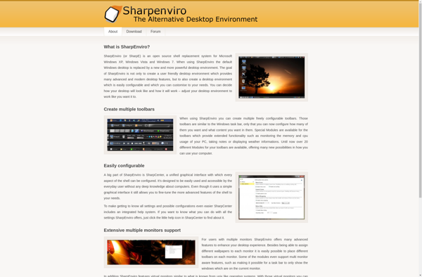
LiteStep
LiteStep is a free and open-source shell replacement and window manager for Windows. It replaces Windows Explorer, the default Windows shell, with an alternate graphical user interface that is highly customizable through the use of themes and skins.LiteStep is based on AfterStep, a window manager originally created for Unix systems....
360desktop
360desktop is an open source desktop virtualization solution developed by 360Works. It enables users to run multiple operating systems on a single physical machine through virtual machines.Some key features of 360desktop include:Open source codebase available under GPLv3 licenseSupports major operating systems like Windows, Linux, and macOS as guest VMsAllows users...
VirtuaWin
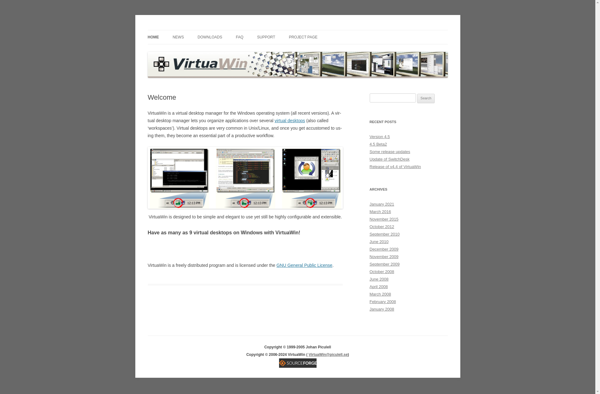
VirtuaWin is a lightweight virtual desktop manager for Windows that enables users to create and manage multiple virtual desktops on their system.The key features of VirtuaWin include:Create up to 20 virtual desktops and easily switch between themAssign desktop names and background images for quick identificationRun applications on specific desktops to...
SphereXP
SphereXP is a virtual desktop infrastructure (VDI) solution designed for enterprises. It allows organizations to host desktop operating systems like Windows and Linux on virtual machines in the data center, and deliver them to end users over the network.Some key features and benefits of SphereXP:Supports major hypervisors like VMware, Hyper-V,...

BB4Win
BB4Win is a bulletin board software application designed specifically for Windows operating systems. It provides tools for website owners and administrators to set up and manage online forums and message boards on their websites.Key features of BB4Win include:Web-based administration panel for configuring settingsSupport for multiple forums and subforumsUser roles and...
Elokab file manager
Elokab file manager is an open-source graphical file manager application for Linux operating systems. It provides an easy way to browse files and folders, move/copy files, create new folders, delete files and folders, rename files and folders, search for files, and more through an intuitive graphical user interface.Some key features...
