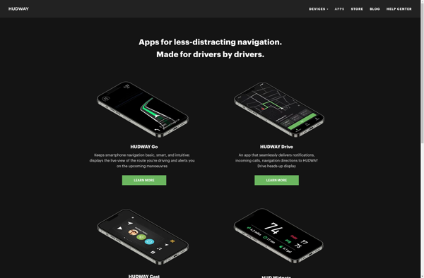
HUDWAY Go is a heads-up display (HUD) for cars that projects driving data like speed, navigation, and alerts directly onto the windshield. It connects to a mobile app via Bluetooth to display GPS navigation, speed limits, calls and texts, fuel data, and more.
A car heads-up display projecting driving data like speed, navigation, and alerts onto the windshield, connecting to a mobile app via Bluetooth for GPS navigation, speed limits, calls and texts, fuel data, and more.
What is HUDWAY Go?
HUDWAY Go is a heads-up display designed for car windshields to promote safer and smarter driving. It wirelessly connects to smartphones via Bluetooth and projects an augmented reality display directly in the driver's line of sight that includes useful information like current speed, speed limits, navigation prompts, weather data, and alerts for incoming calls/texts.
Key features of HUDWAY Go include:
Reflective projection display for crisp image quality
Display of current and maximum speed limits
Turn-by-turn GPS navigation prompts
Integrated dashcam with driving, parking, and SOS recording modes
Display of incoming calls and text messages
Fuel consumption tracking and range estimates
Display of compass, altitude, gyroscope data
Over-speed warning system with flashing prompt
Languages: English, Spanish, French, Russian, Chinese
The HUDWAY Go mobile app syncs with the windshield device via Bluetooth and allows full control and customization of what data is displayed. Users praise the system for decluttering their field of view while driving by providing necessary data without the need to look away from the road.
HUDWAY Go Features
Features
Projects navigation, speed, fuel data onto windshield
Google Maps is a web mapping platform and consumer application offered by Google. It offers satellite imagery, aerial photography, street maps, 360° interactive panoramic views of streets, real-time traffic conditions, and route planning for traveling by foot, car, bicycle and air, or public transportation.Key features of Google Maps include:Interactive street...
Waze is a crowd-sourced GPS navigation and traffic app launched in 2008. It provides turn-by-turn navigation along with real-time traffic updates, road hazard reports, and user-submitted edits of roads and addresses.Key features of Waze include:Real-time traffic updates - Users can report accidents, traffic jams, police traps, etc. to alert other...
Planet Labs is an earth imaging company founded in 2010 and based in San Francisco, California. They operate the world's largest commercial satellite constellation with over 200 satellites in orbit, collecting imagery of the entire land mass of the Earth every day.Their high revisit rate and global coverage allows them...
Universal Maps Downloader is a free and open source software application that provides the ability to download map images from various popular online map services, including Google Maps, Bing Maps, OpenStreetMap, MapQuest, Yandex Maps, and more.Some key features of Universal Maps Downloader:Supports downloading map images at various zoom levels ranging...
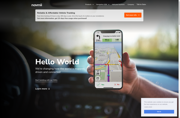
Navmii is a free, open source GPS navigation software for Windows, Linux and Mac operating systems. It provides turn-by-turn voice guided navigation using OpenStreetMaps and allows users to download maps for offline usage.Key features of Navmii include:Voice guided navigation with street names pronunciationCustomizable maps with option to download maps for...
TomTom MyDrive is a free desktop and mobile app that interfaces with TomTom GPS navigation devices to provide expanded features and functionality. With MyDrive, users can plan routes and destinations on their computer, tablet, or phone and seamlessly send that information to their TomTom device.Key features of TomTom MyDrive include:Updated...
GPS Navigator is a feature-rich navigation and maps app for Android and iOS that is focused on providing accurate turn-by-turn directions even when offline. It sets itself apart by offering free offline map downloads for over 200 countries and territories worldwide, meaning you can navigate unfamiliar areas without racking up...
Mappy is an online and mobile map service mainly focused on Europe. It provides detailed street-level maps for over 40 European countries, covering popular travel destinations like France, Germany, Italy, Spain, and the UK as well as smaller countries across the region.Key features of Mappy include:Interactive maps with zoom, pan,...