LandCAD
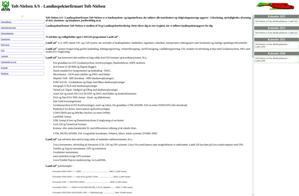
LandCAD: Computer-Aided Design Software for Land Development and Civil Engineering
LandCAD is a computer-aided design (CAD) software focused on land development and civil engineering projects. It provides tools for site planning, road design, earthwork calculations, drainage design, and other related tasks.
What is LandCAD?
LandCAD is a feature-rich computer-aided design (CAD) and civil engineering software tailored for the land development industry. It enables engineers, designers, and planners to efficiently create conceptual layouts, perform analyses, and generate detailed design drawings for land planning and civil engineering projects.
Key features of LandCAD include:
- Intuitive site planning tools for laying out lots, road networks, and infrastructure
- Specialized civil engineering design tools for tasks like terrain modeling, corridors, drainage systems, and earthwork calculations
- Cost estimation functions
- Advanced CAD editing and annotation capabilities
- Automated report generation
- Customizable templates and styles
- Seamless data exchange with GIS, CAD, and other systems
With its user-friendly interface optimized for the land development workflow, LandCAD aims to help streamline site design and civil engineering projects spanning from initial concept to final construction drawings and everything in between. It can handle projects ranging from small site plans to large, multi-phase subdivisions and master-planned communities.
LandCAD offers subscriptions based on usage levels. Implementation and training services are also available to help organizations get up and running quickly and use the software most efficiently.
LandCAD Features
Features
- Site design tools
- Road and highway design
- Utilities design
- Grading and earthwork
- Drainage and hydrology analysis
- Landscape design
- Surveying and site data management
- 3D visualization and rendering
Pricing
- Perpetual License
- Subscription
- Pay-As-You-Go
Pros
Cons
Official Links
Reviews & Ratings
Login to ReviewThe Best LandCAD Alternatives
Top Development and Cad Software and other similar apps like LandCAD
Here are some alternatives to LandCAD:
Suggest an alternative ❐Autodesk AutoCAD
SOLIDWORKS

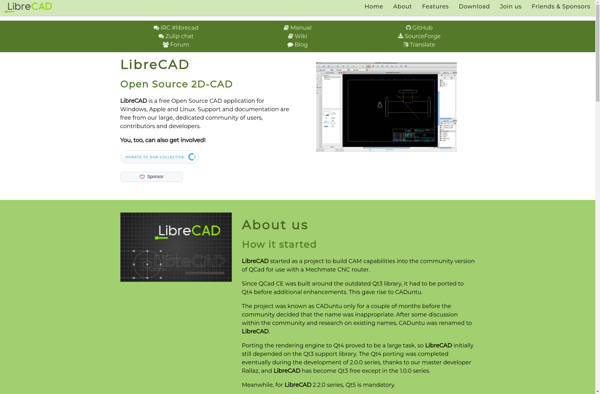
LibreCAD
PCon.planner

DraftSight

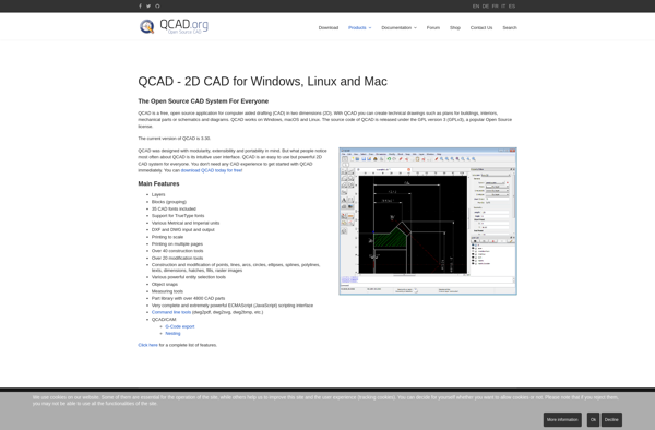
QCAD
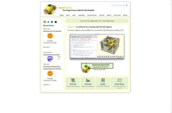
OpenSCAD
KOMPAS-3D

BRL-CAD
BricsCAD

LiteCAD
