VisualGPS

VisualGPS: Visual Location Intelligence and Spatial Analytics
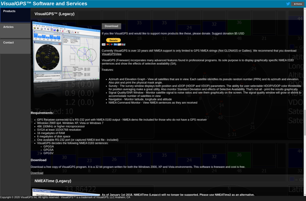
VisualGPS provides visual location intelligence and spatial analytics, enabling users to visualize and analyze geographic data for insights and data-driven decision-making.
What is VisualGPS?
VisualGPS is a leading software for visual location intelligence and spatial analytics. It enables organizations to visualize and analyze geographic data on interactive maps, revealing hidden patterns and valuable insights that drive data-confidence and better decision making.
With VisualGPS, users can upload and integrate multiple data sources such as sales transactions, customer records, IoT sensor data, and demographic statistics. Powerful location analytics capabilities allow you to analyze this data to identify trends and correlations based on geography. Users can create heatmaps, drive time zones, trade areas, and perform cluster analysis to gain strategic, localization-based intelligence.
Key features and capabilities include:
- Interactive maps with advanced visualization tools
- Upload, integrate and analyze multiple datasets
- Location analytics e.g. heatmaps, drivetime zones, clustering
- Geocoding and reverse geocoding
- Flexible filtering, segmentation and reporting
- APIs and database connectors for automation
- Integration with BI and analytics platforms
With its intuitive and customizable interface, VisualGPS is suited for GIS analysts, data scientists, marketing professionals, real estate developers, retail planners, and more. It helps organizations optimize growth opportunities, mitigate risks, enhance efficiencies, and make confident decisions leveraging the power of location data.
VisualGPS Features
Features
- Interactive map visualization
- Location analytics
- Spatial data management
- Geocoding and reverse geocoding
- Routing and logistics optimization
- Territory management
- Demographic analysis
- Heat mapping
- Store locator
Pricing
- Subscription-Based
Pros
Cons
Official Links
Reviews & Ratings
Login to ReviewThe Best VisualGPS Alternatives
Top Travel & Location and Mapping & Navigation and other similar apps like VisualGPS
Here are some alternatives to VisualGPS:
Suggest an alternative ❐GPS Test

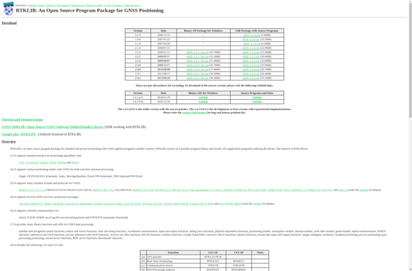
RTKLIB

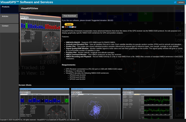
VisualGPSView

TempoMaster
