Citymapper
Citymapper: Public Transit App
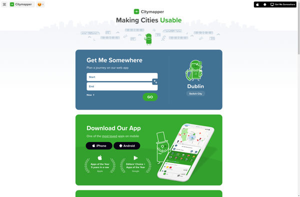
Citymapper is a popular public transit app available for major cities around the world. It provides detailed transit directions and scheduled times across many modes of transportation like subway, bus, rail, ferry, bike share, rideshare, etc. The app is known for its easy-to-use interface and reliability.
What is Citymapper?
Citymapper is a mobile app and website that provides public transit information and directions for major cities around the world. First launched in 2011 for London's complex transit system, Citymapper has since expanded to over 80 cities globally.
The app shows users comprehensive transit options combining subway, bus, rail, ferry, bike share, rideshare, etc. into a single integrated interface. It presents scheduled departure/arrival times, estimated journey duration, step-by-step navigation, service alerts, and more. Users can compare routes based on different factors like duration, transfers, cost, calories burned, etc.
Key features include:
- Multi-modal directions and mapping
- Real-time departure info and service disruption alerts
- Fare estimates and transit ticket integration
- Wheelchair accessibility info
- Offline maps for over 40 cities
Citymapper aims to simplify public transit and make cities more usable. While primarily focused on transit, it also incorporates other transport modes like walking, biking, scooting, and rideshares. The app is known for its usability, humor, and attention to design. It's popular with both locals and travelers in covered metropolitan areas.
Citymapper Features
Features
- Real-time transit info and ETAs
- Step-by-step navigation and rerouting
- Schedules for all local transit options
- Fare estimates and ticketing
- Bike, scooter, rideshare integration
- Accessible navigation features
- Offline maps and navigation
Pricing
- Freemium
Pros
Cons
Official Links
Reviews & Ratings
Login to ReviewThe Best Citymapper Alternatives
View all Citymapper alternatives with detailed comparison →
Top Travel & Location and Transit & Navigation and other similar apps like Citymapper
Here are some alternatives to Citymapper:
Suggest an alternative ❐Google Maps

OsmAnd

Moovit
Organic Maps

Apple Maps

Greyhound
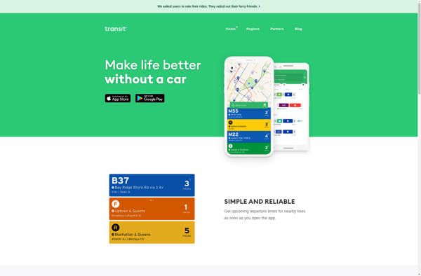
Transit
Transportr

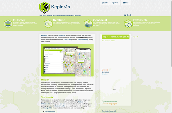
KeplerJs
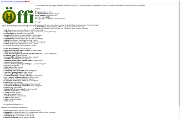
Öffi
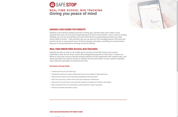
SafeStop™
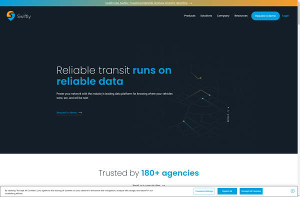
Swiftly
TransSee
MAPCAT.com

Velotton
TripGo
Tubenav

Wikiroutes